


Review INTERGEO 2026: Geospatial meets 3D-Stereo and VR
At INTERGEO 2026 in Munich, Schneider Digital presented high-performance solutions for professional 3D-Stereo visualization, Virtual Reality and demanding geospatial applications.
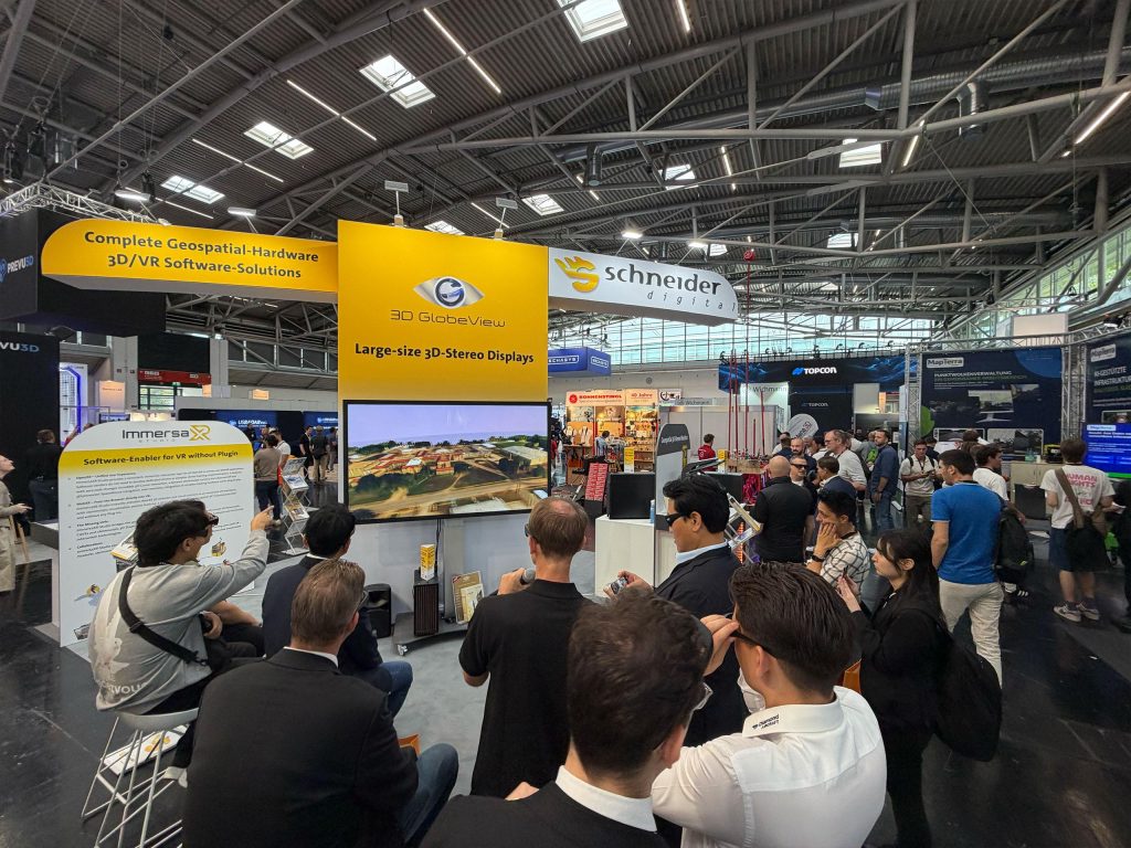
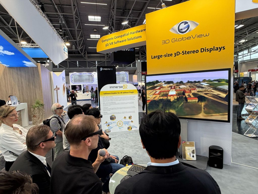
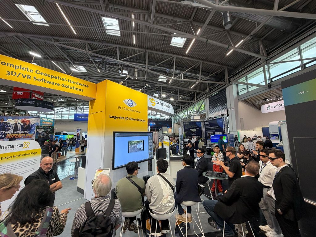
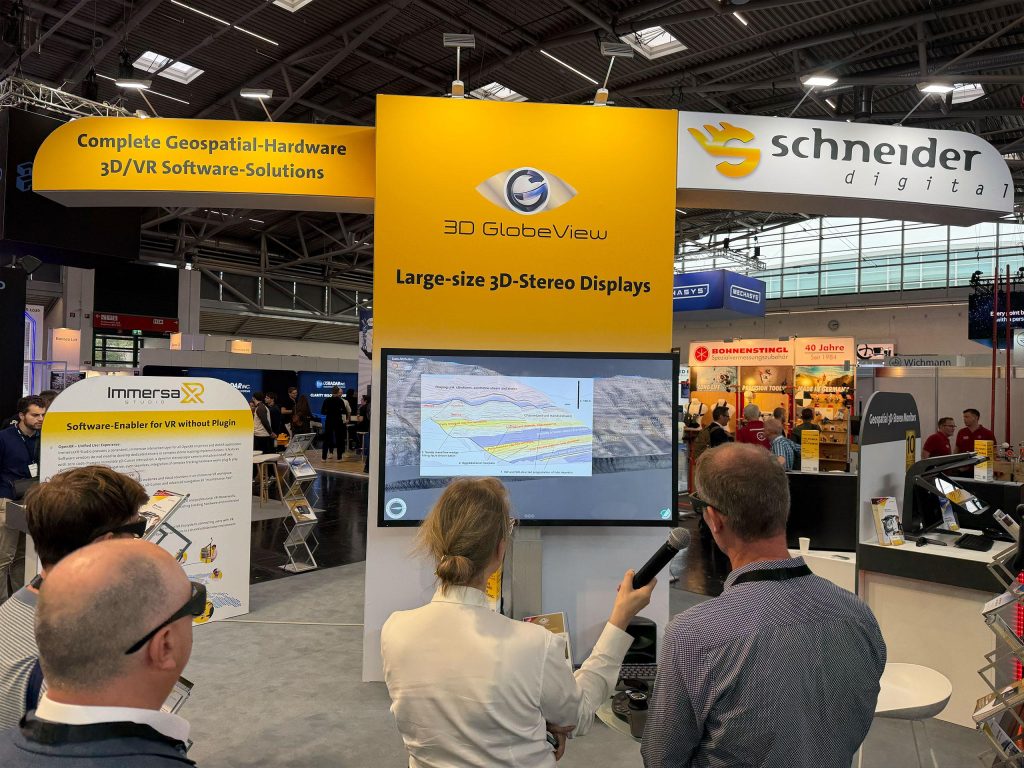
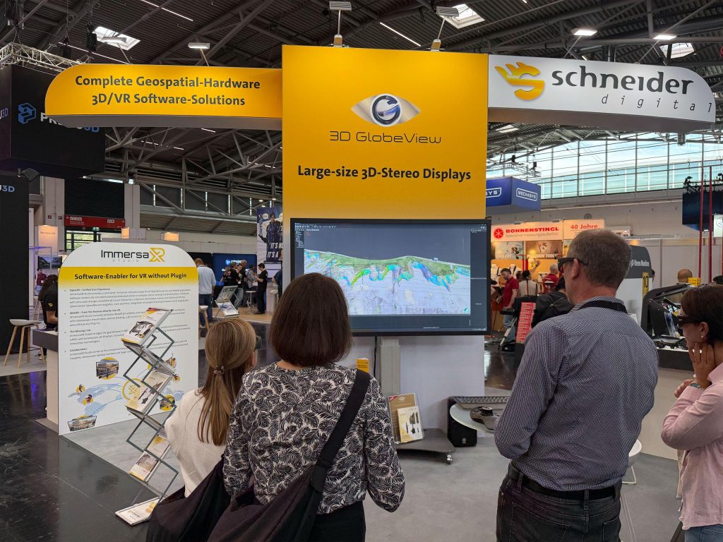
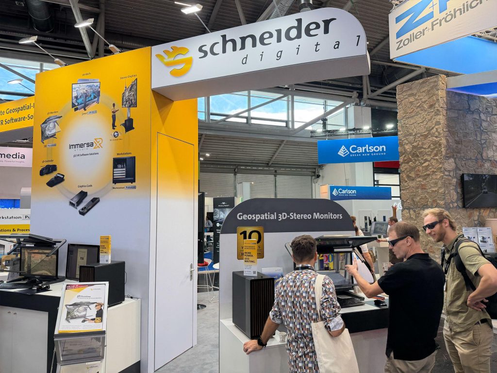
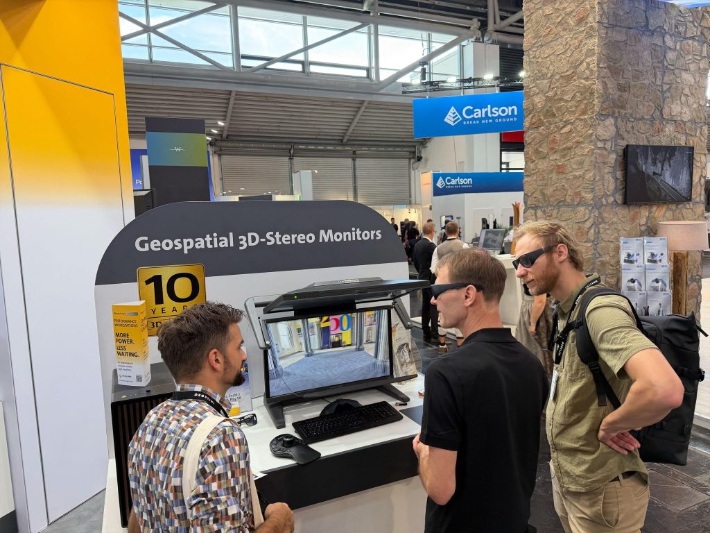
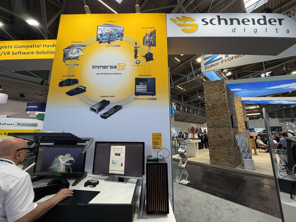
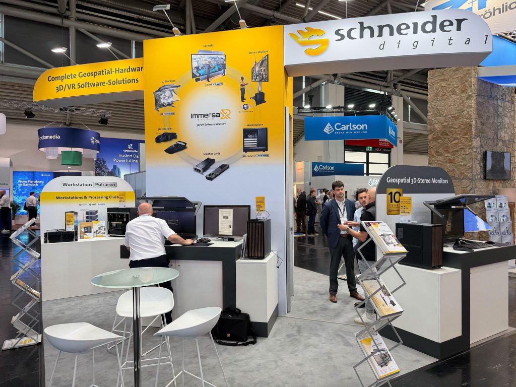
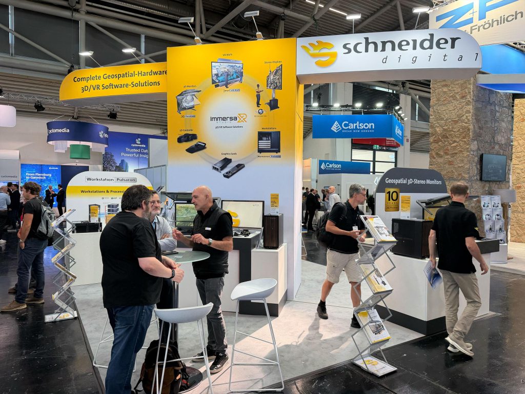
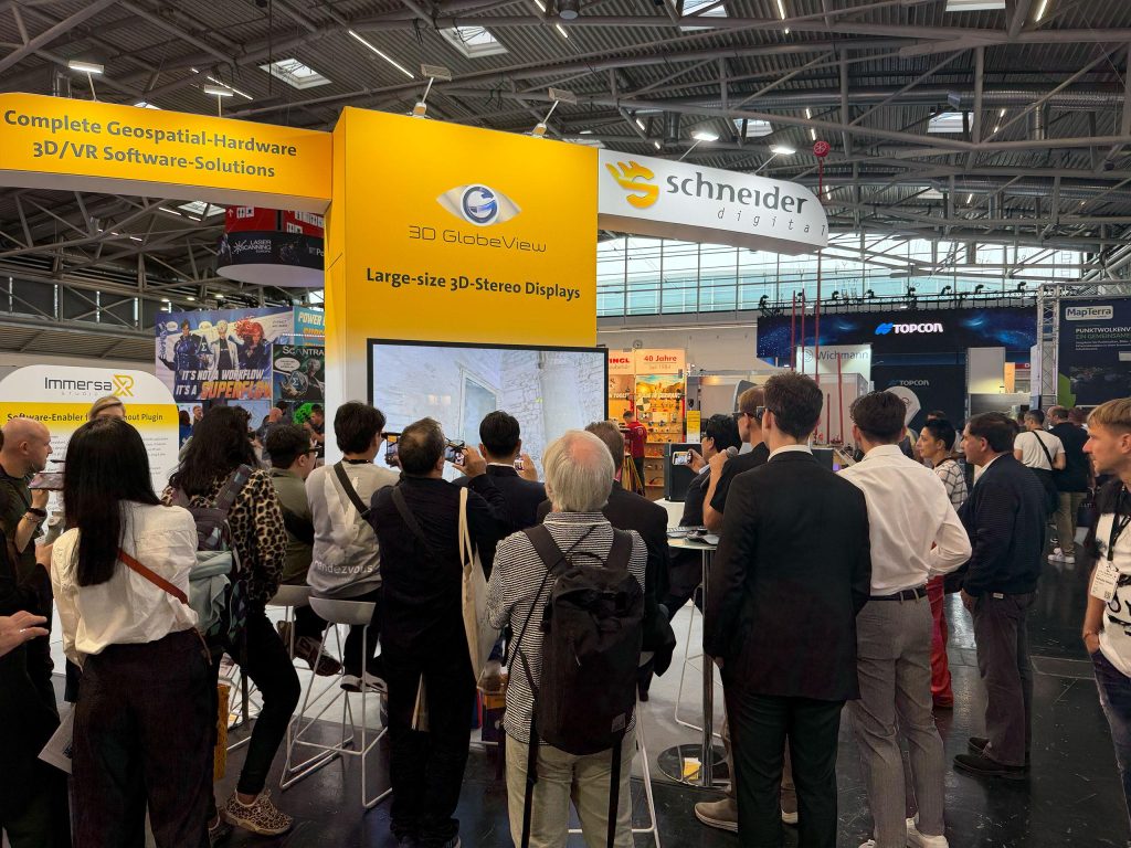
At the heart of the exhibition presence in Hall B5, Booth K036 was the product launch of ImmersaXR-Studio for the geospatial market. The presentation was complemented by the 3D PluraView, the large-format 3D GlobeView and professional geospatial workstations.
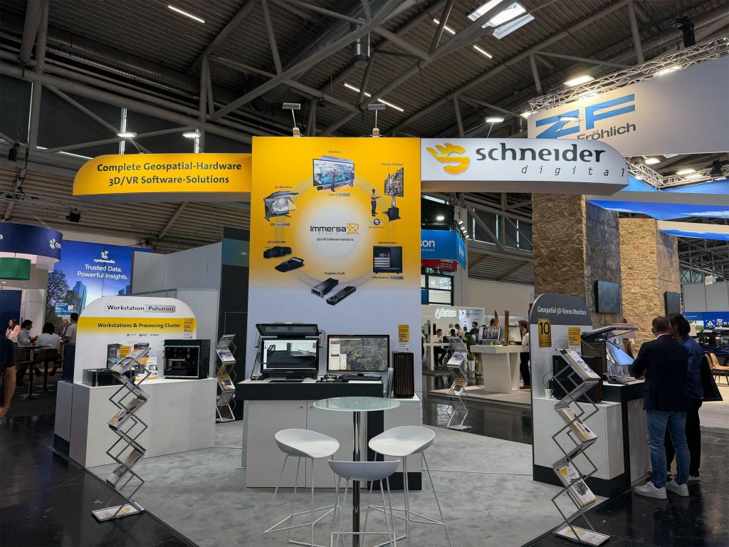
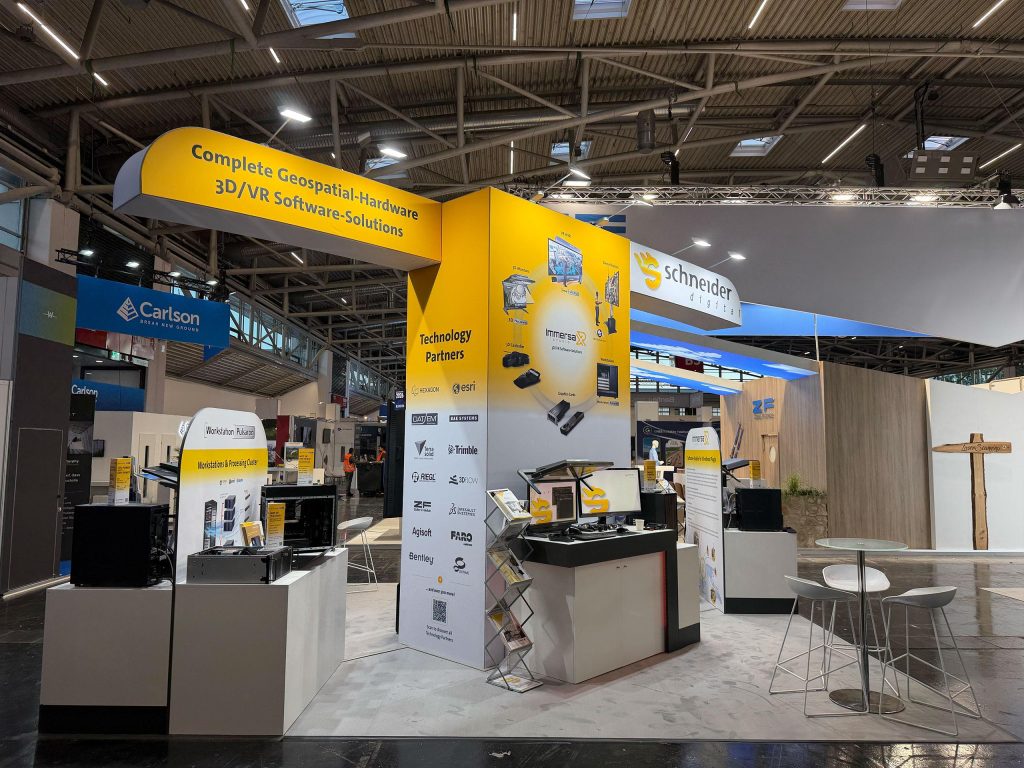
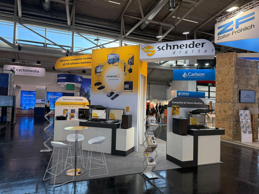
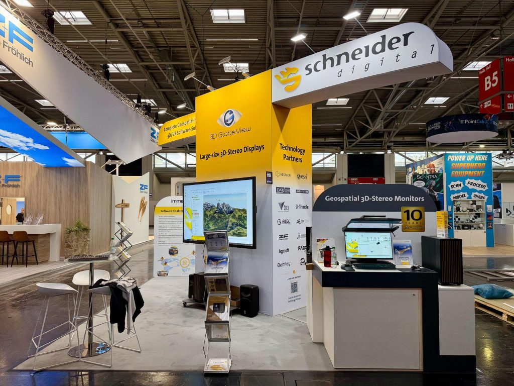
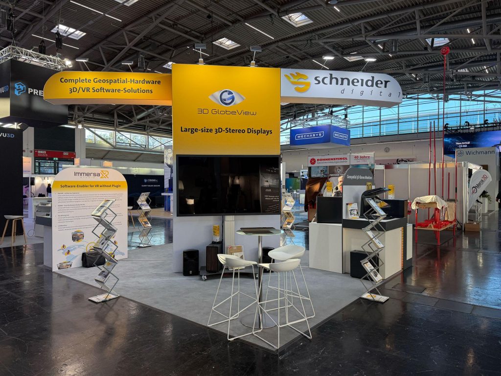
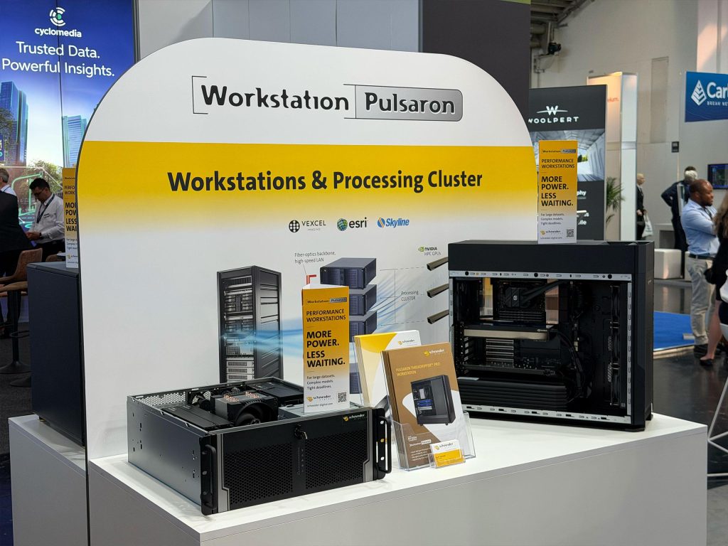
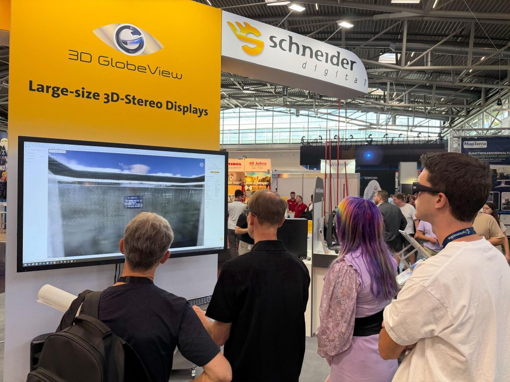
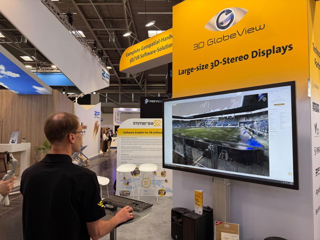
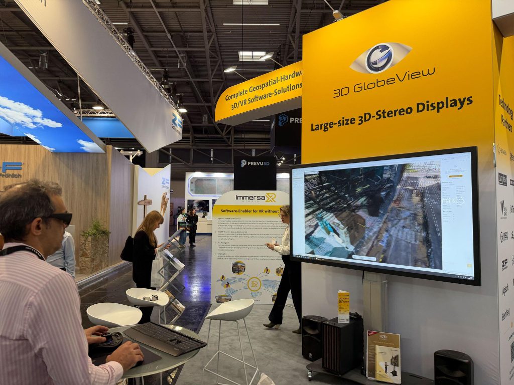
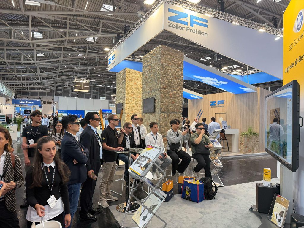
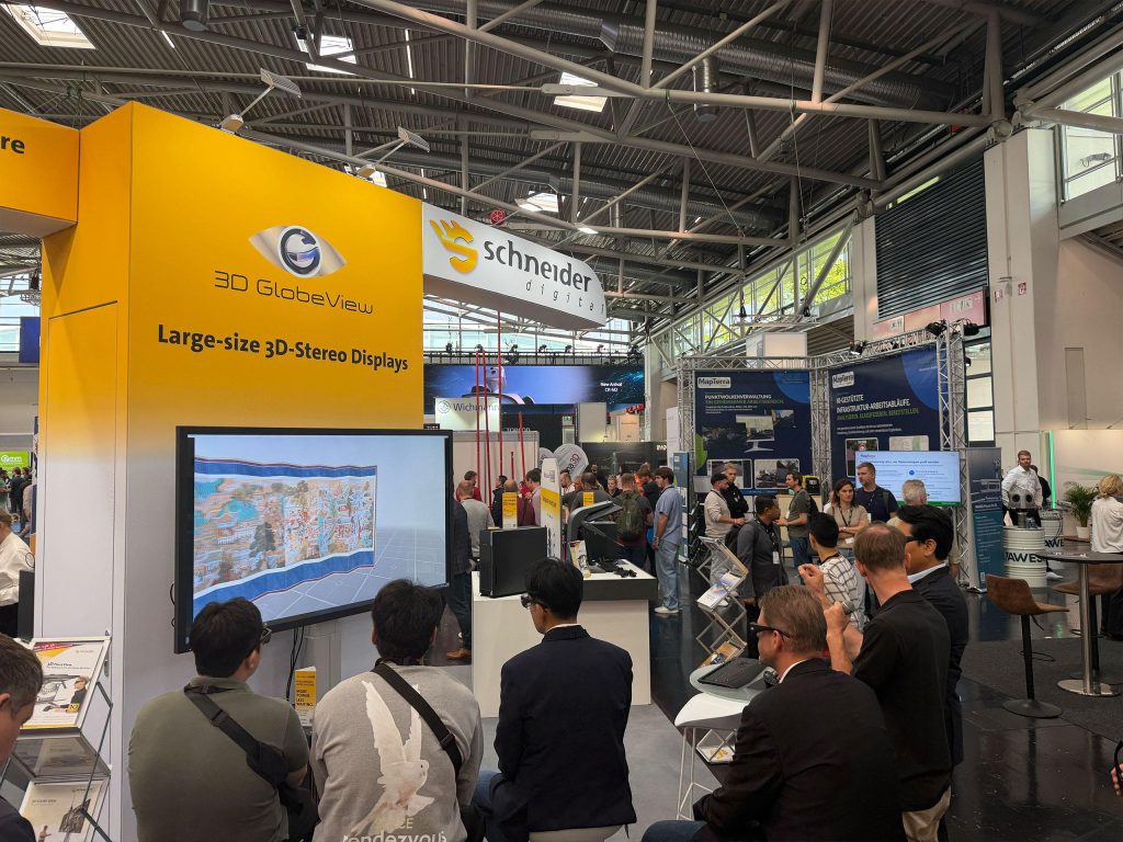
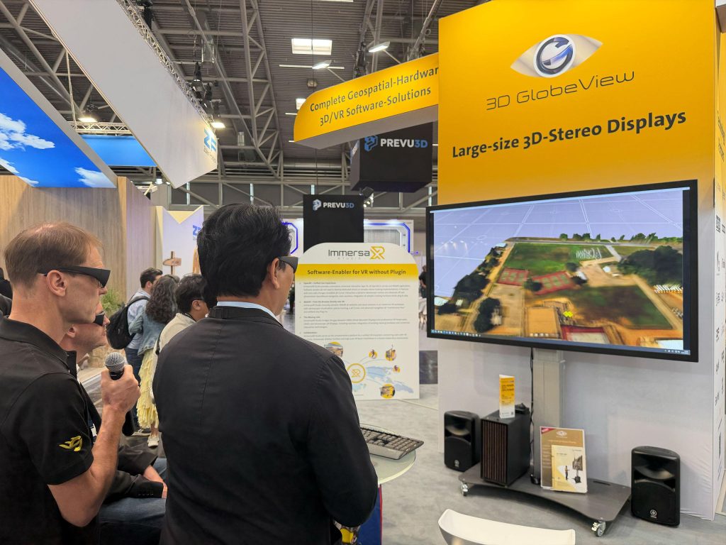
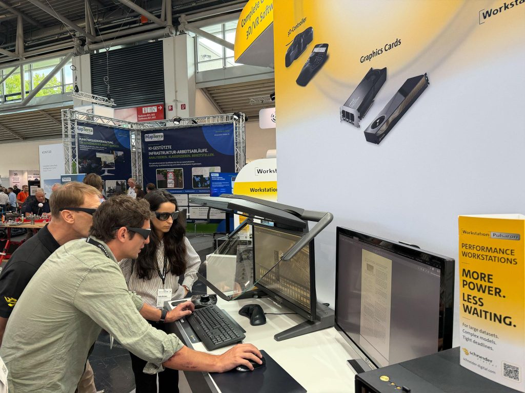
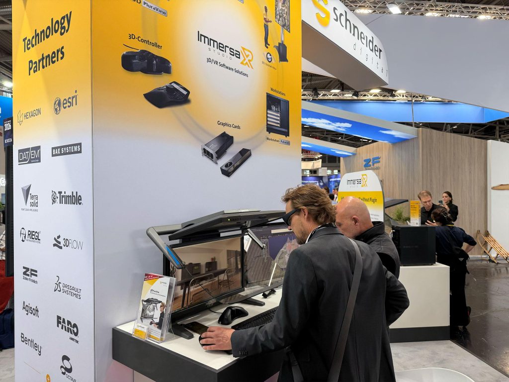
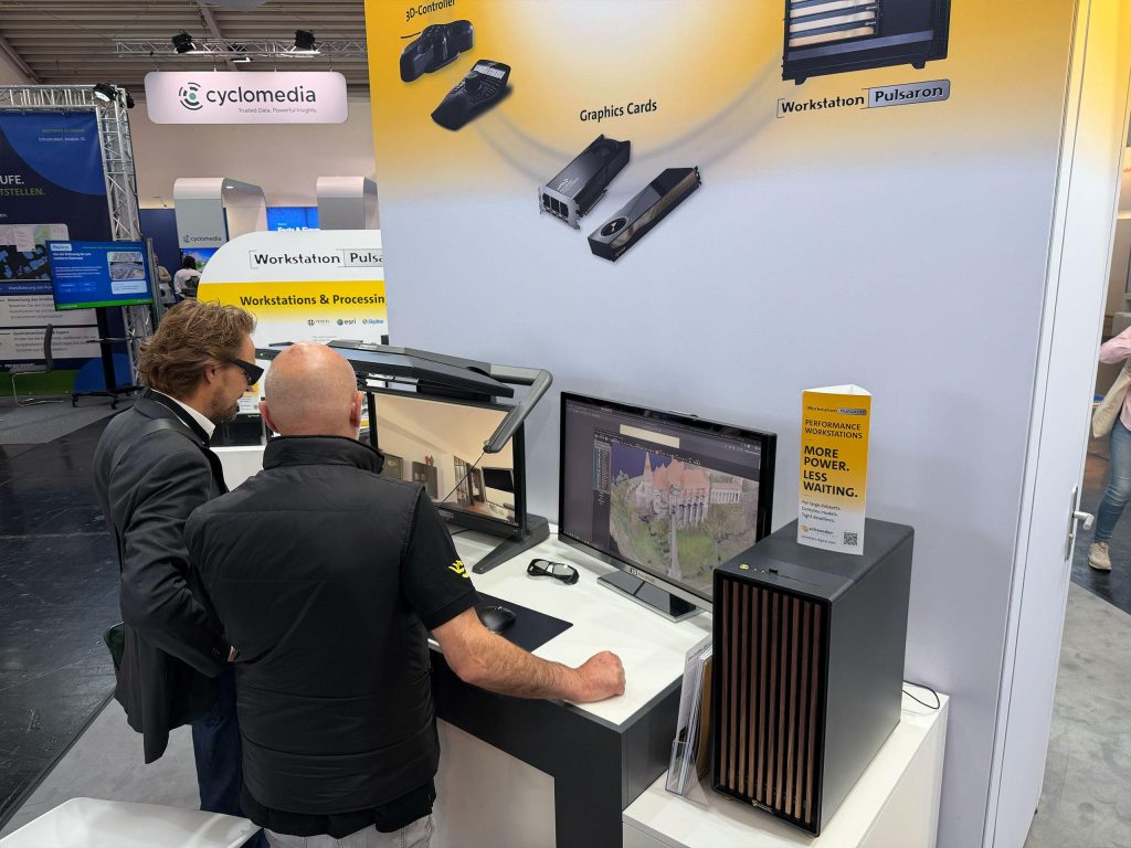
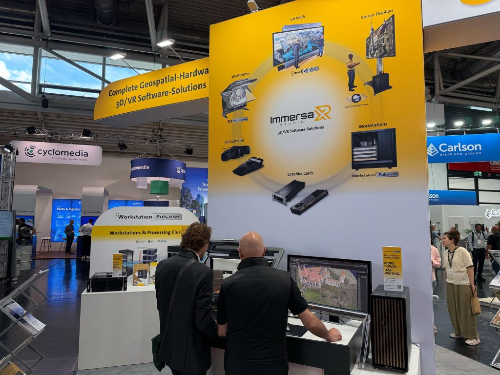
ImmersaXR-Studio: Software Enabler for VR without Plug-ins
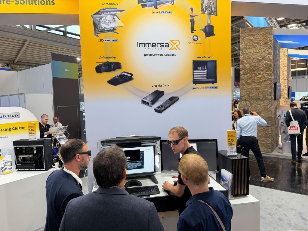
With ImmersaXR-Studio, Schneider Digital presented a unified immersive VR interaction layer for locally deployed OpenXR applications and browser-based WebXR applications at INTERGEO 2026. Stereoscopic visualization, precise tracking, a 3D cursor, a dynamic stereo camera and advanced navigation were available directly, without plug-ins, code modifications or additional maintenance effort.
For geospatial applications, this opened up a wide range of possibilities: point clouds, aerial imagery, 3D city models, BIM models and digital twins could be displayed with spatial precision, explored stereoscopically and presented in 3D. The solution was therefore particularly suited to applications in surveying, mapping, photogrammetry, infrastructure planning, urban development, research and training.
These solutions were at the heart of our exhibition presence:
- ImmersaXR-Studio
OpenXR and WebXR applications could be used in 3D-Stereo and VR with a 3D cursor, dynamic stereo camera, tracking and SpaceMouse navigation, without plug-ins or modifications to the existing application code. - 3D PluraView
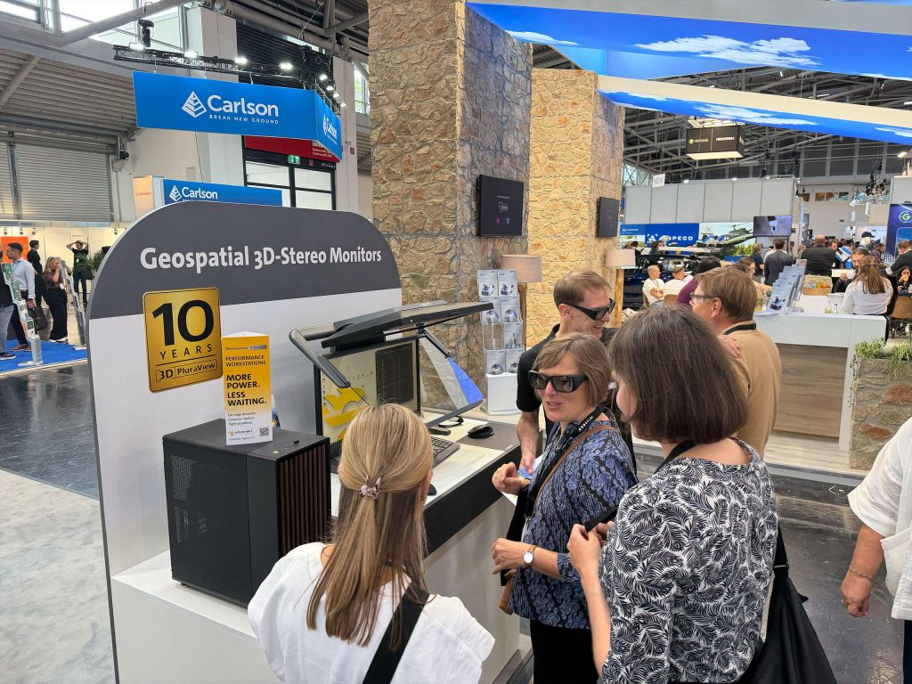
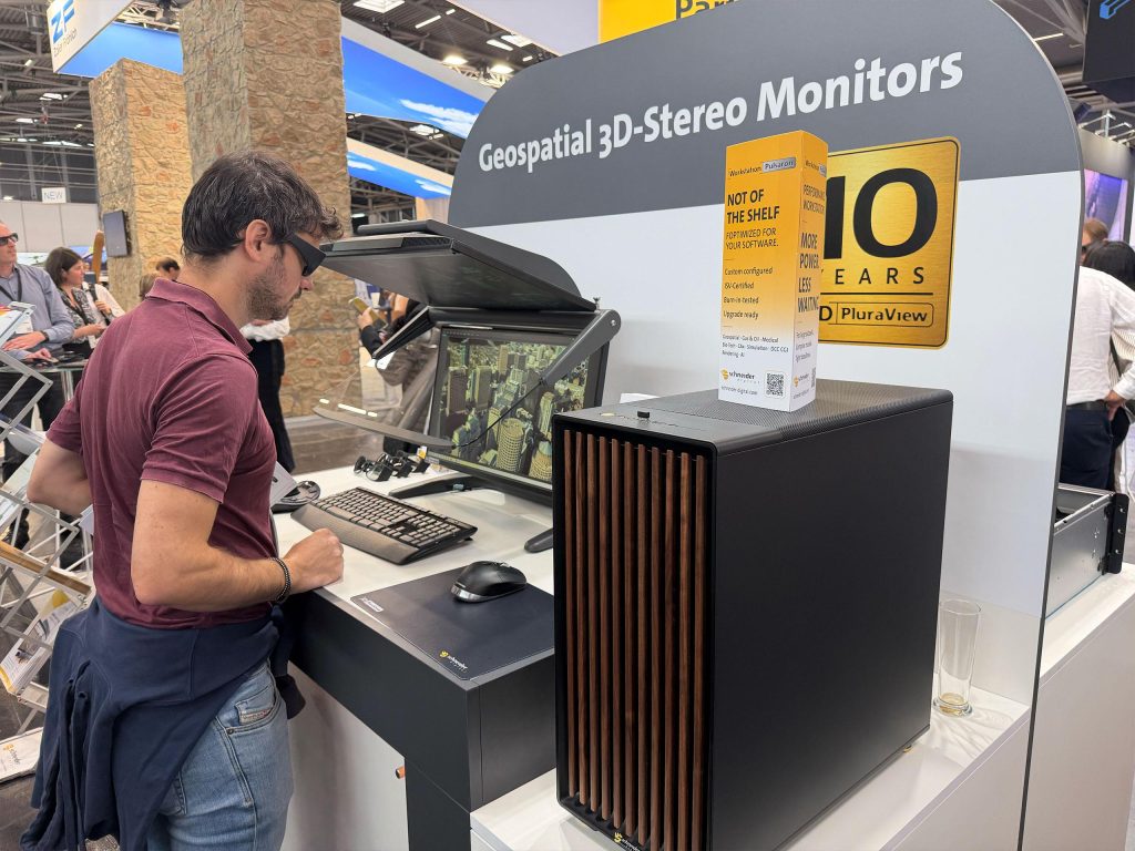
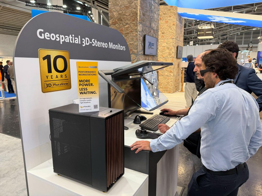
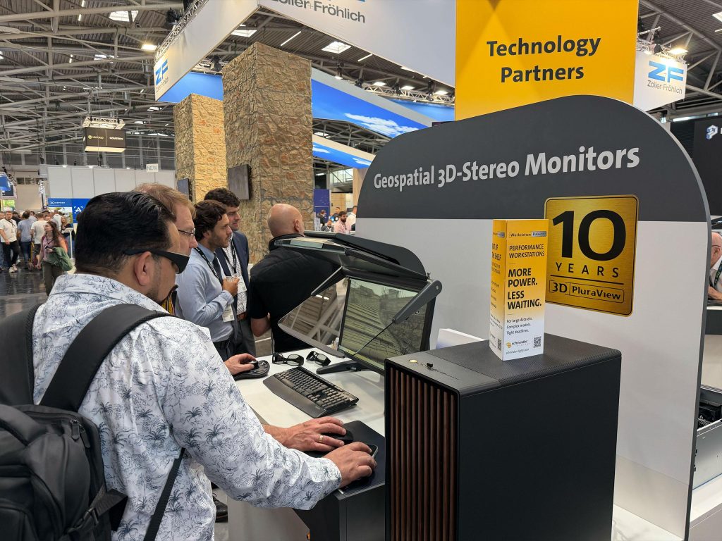
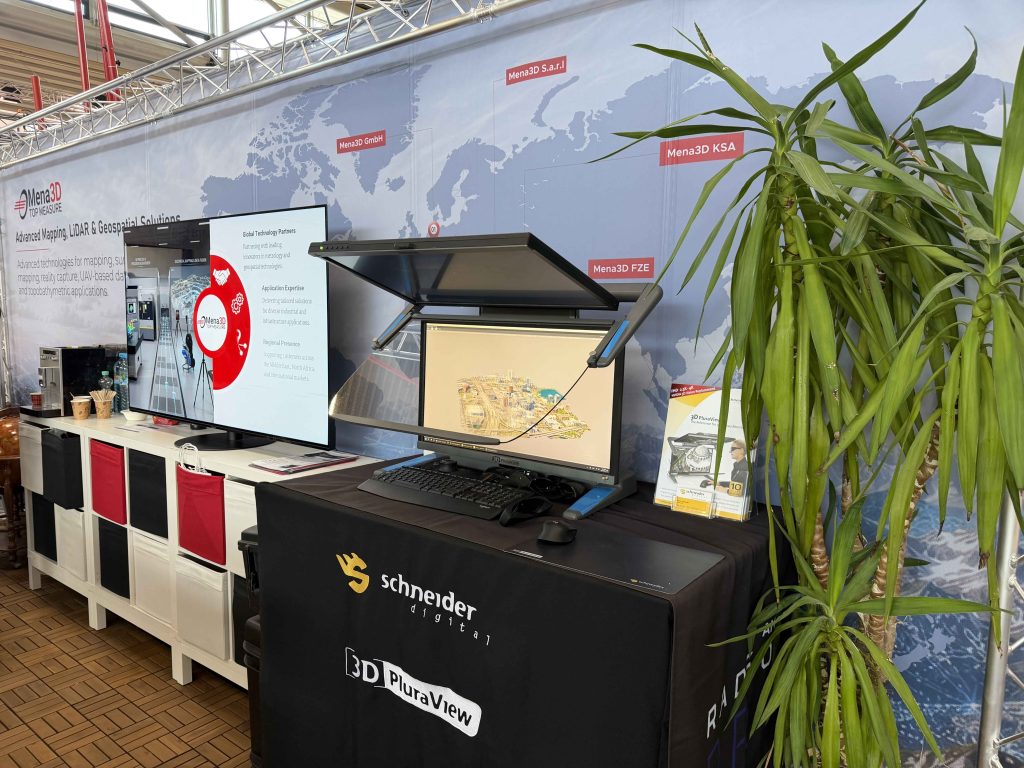
With the 3D PluraView, Schneider Digital presented professional stereoscopic visualization for demanding geospatial applications. Aerial imagery, point clouds, mapping projects and complex 3D models could be displayed and processed with high precision at resolutions of up to 4K per eye. - 3D GlobeView
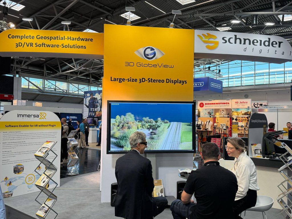
The large-format 84-inch 3D-Stereo monitor enabled the spatial presentation of complex geospatial content on a large display surface. This made the 3D GlobeView particularly suitable for project presentations, meetings and collaborative analyses. - Professional Geospatial Workstations
Schneider Digital’s high-performance system solutions provided the technical foundation for data-intensive geospatial applications as well as demanding computing and visualization tasks.
Hardware, Software and Performance from a single source
At INTERGEO 2026, Schneider Digital presented not only individual products, but also perfectly coordinated complete solutions. Professional 3D-Stereo monitors, high-performance workstations and ImmersaXR-Studio were combined to create powerful working environments for modern geospatial applications.
The live demonstrations showed how existing workflows could be enhanced and complex geospatial content visualized in a clear, interactive and spatial way.
INTERGEO Highlight:
3D PluraView live at partner booths
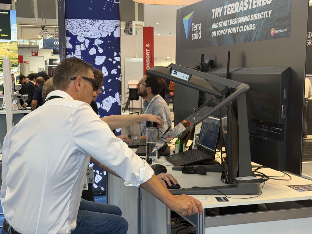
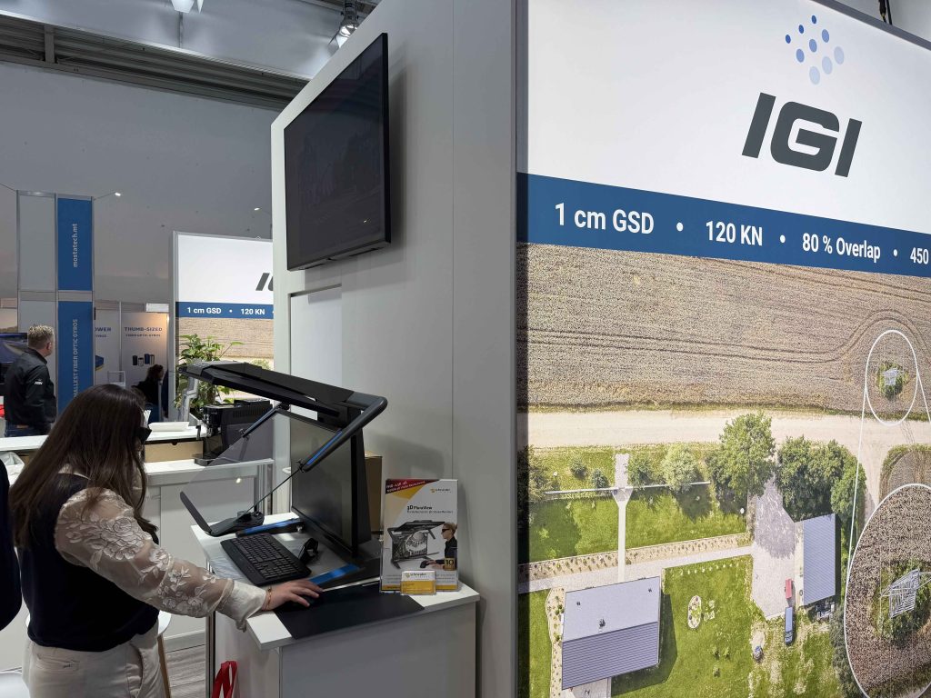
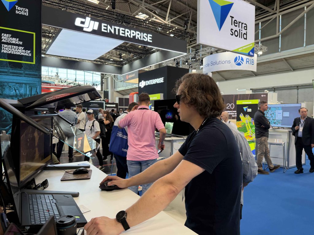
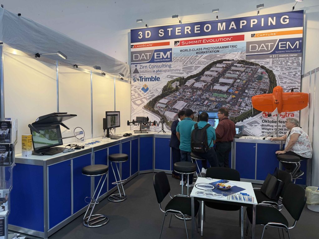
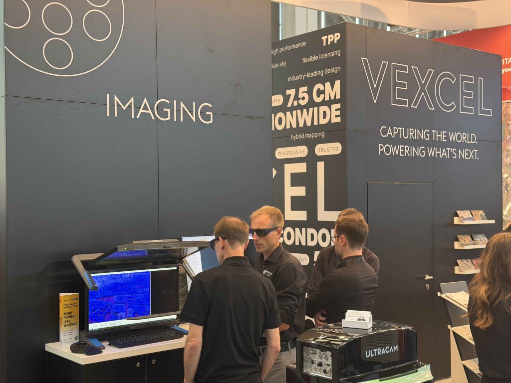
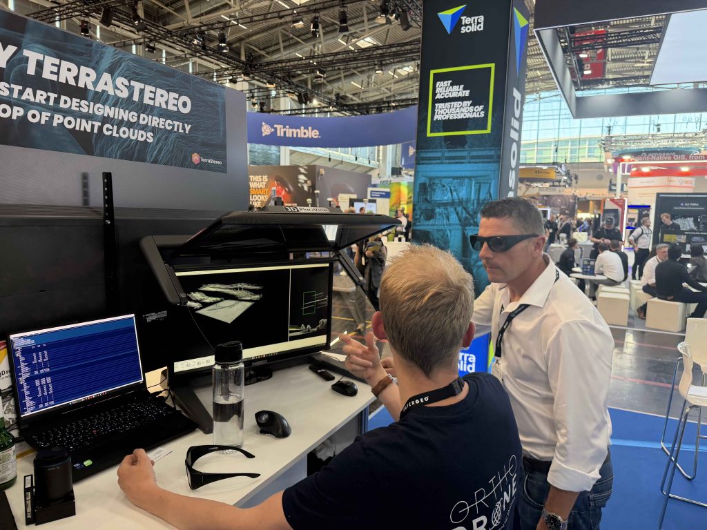
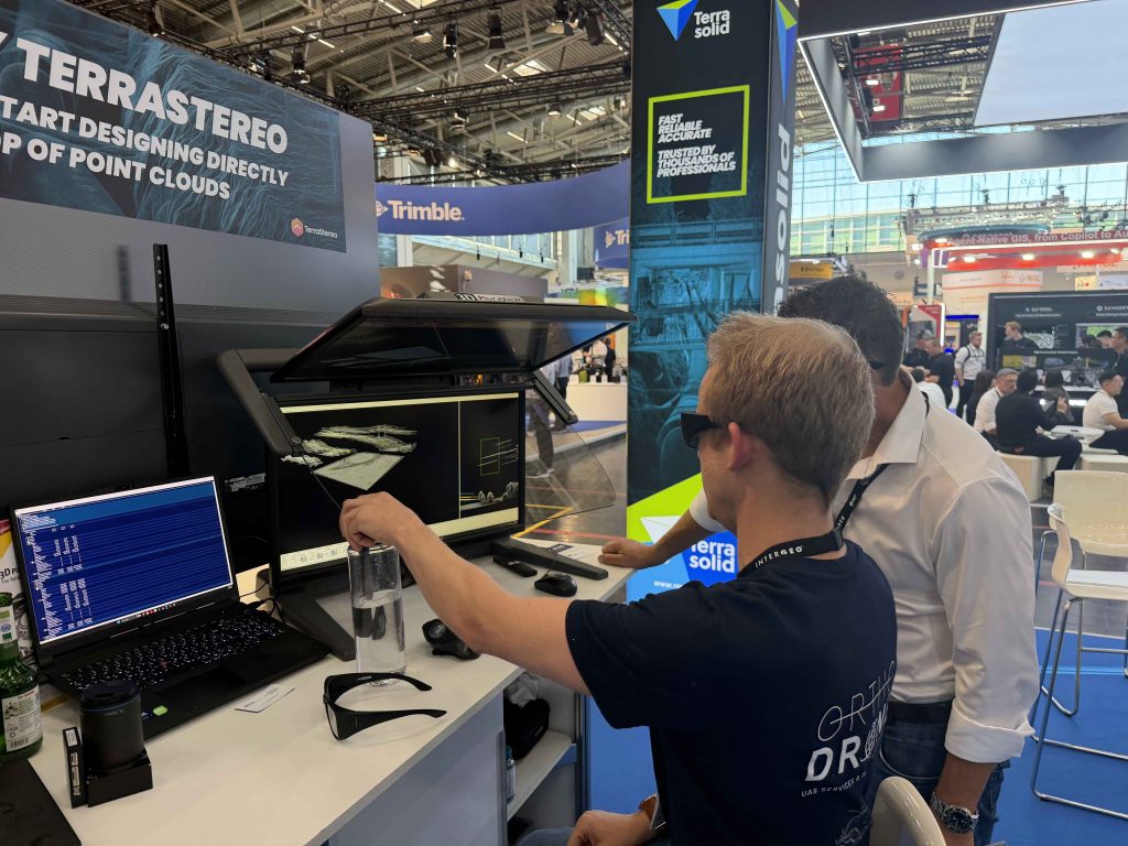
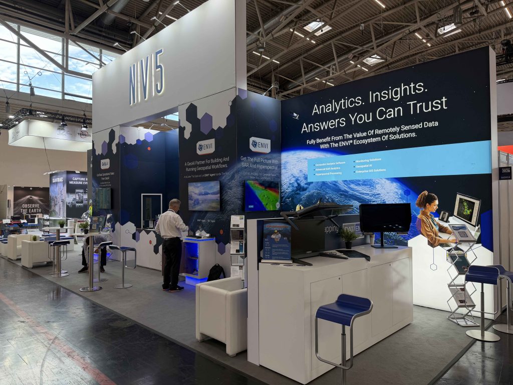
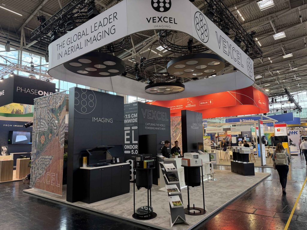
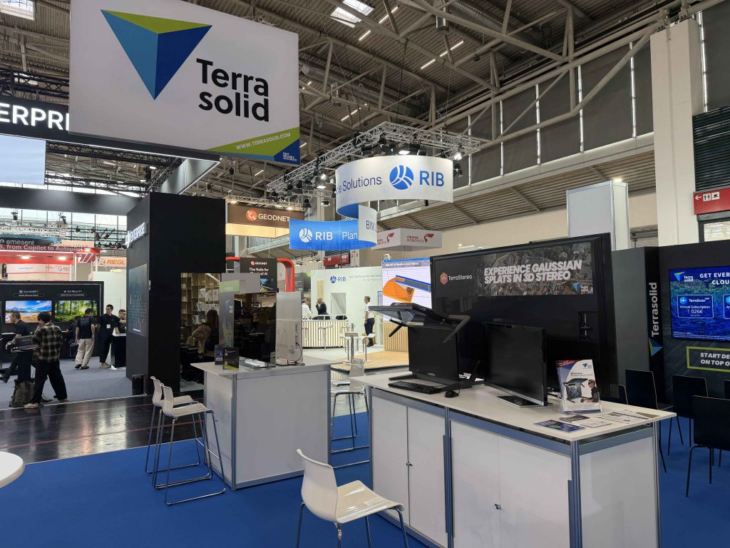
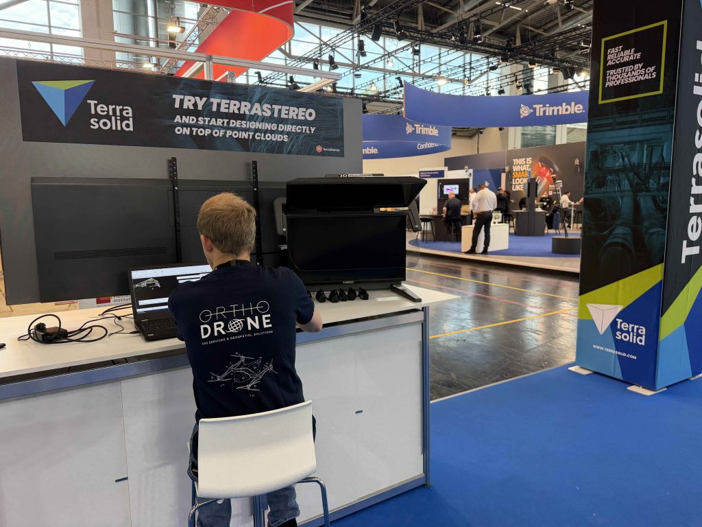
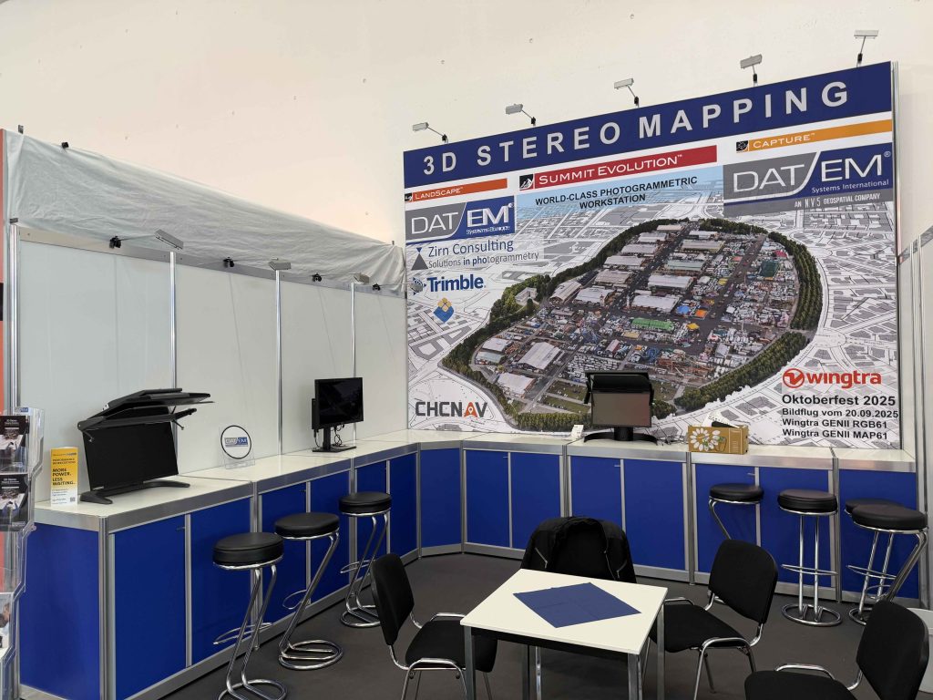
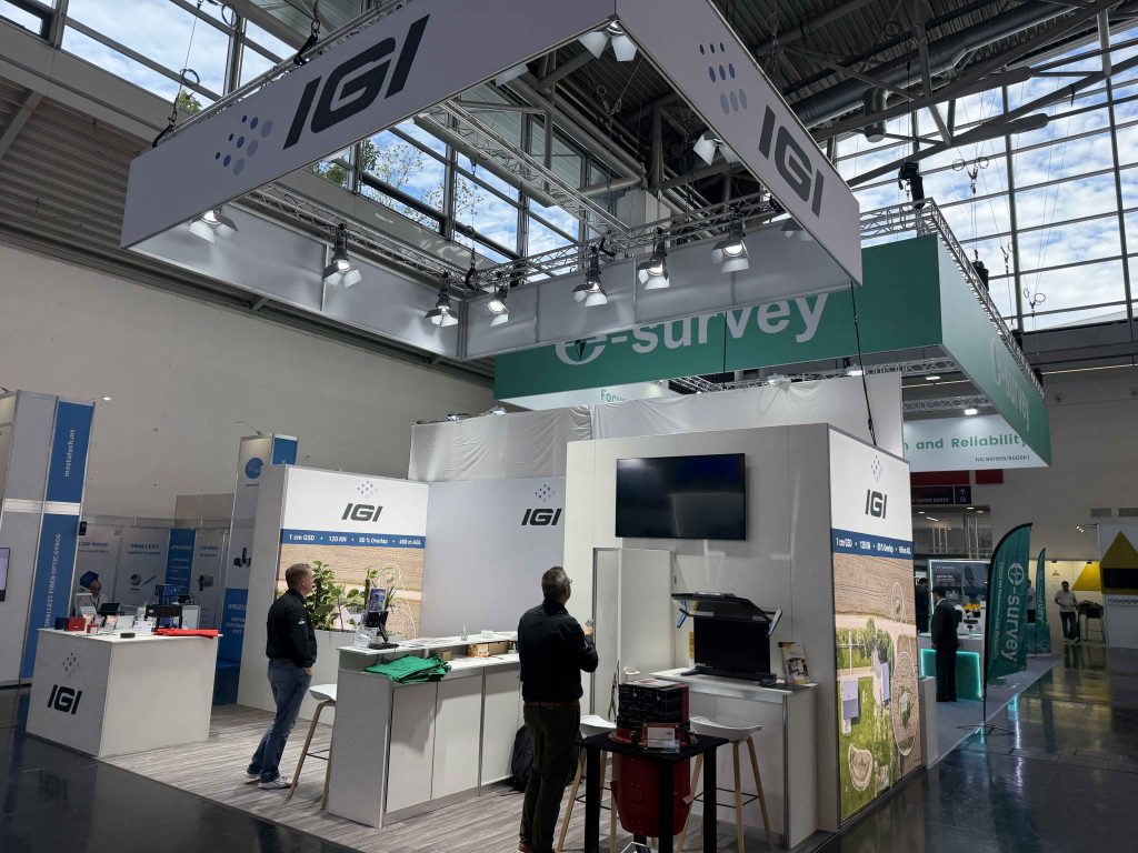
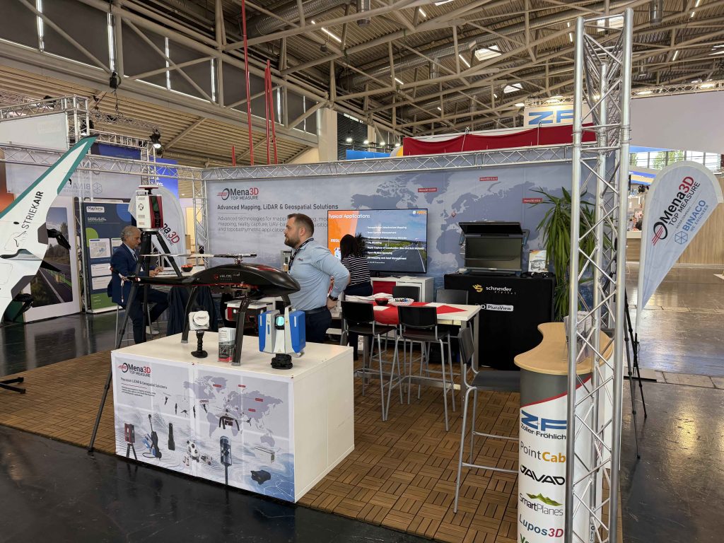
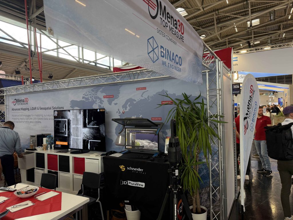
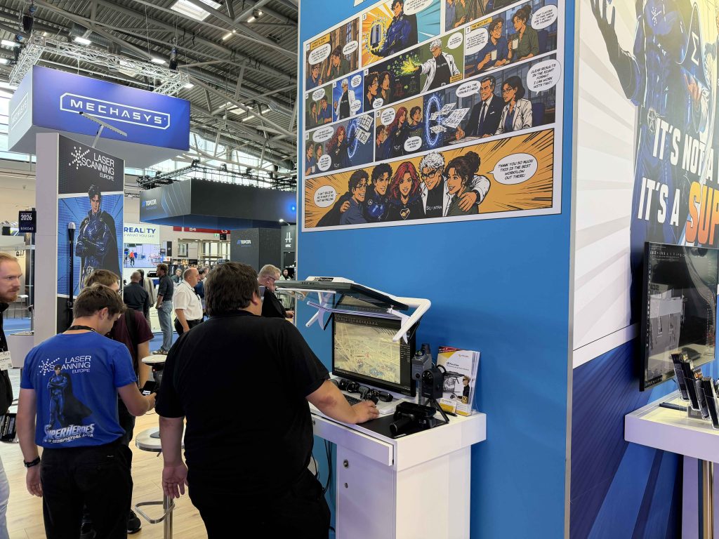
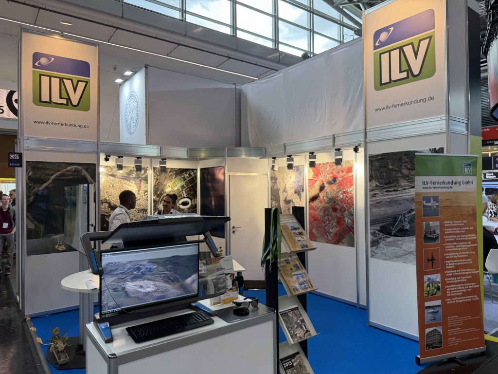
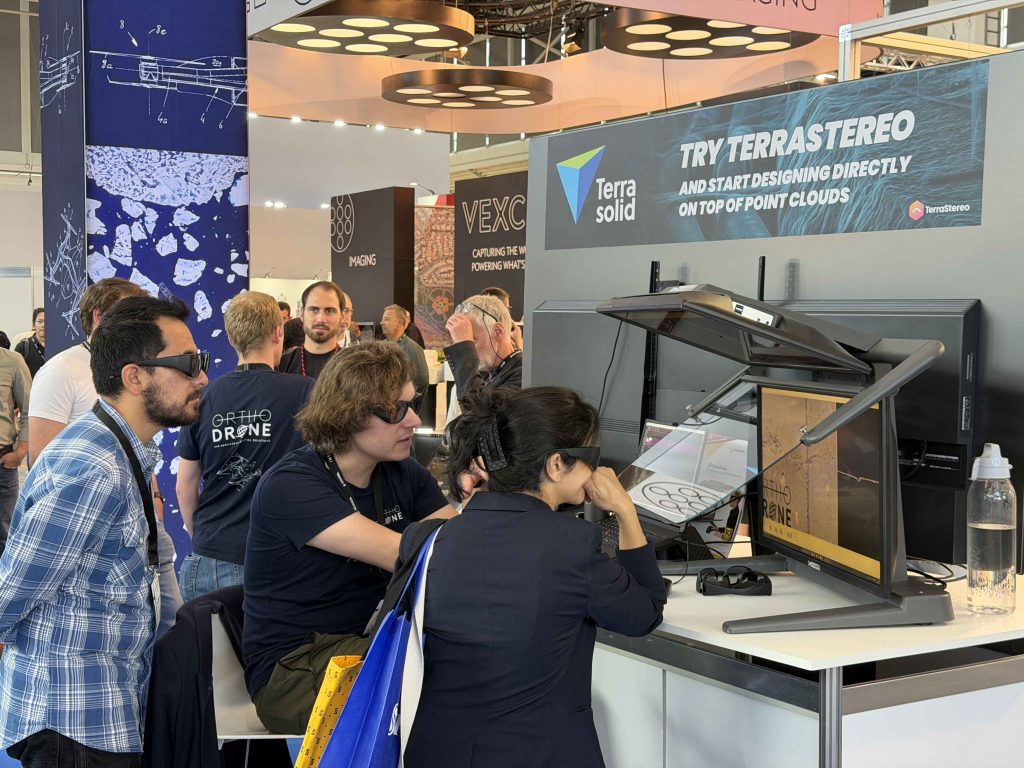
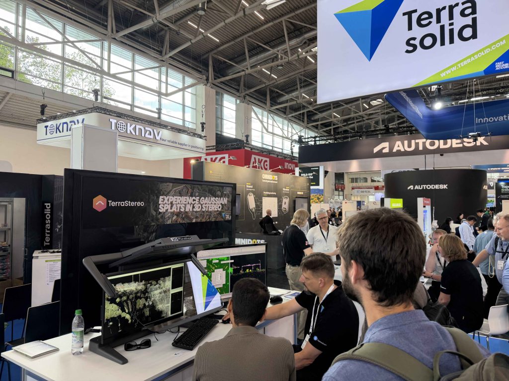
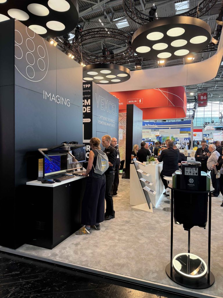
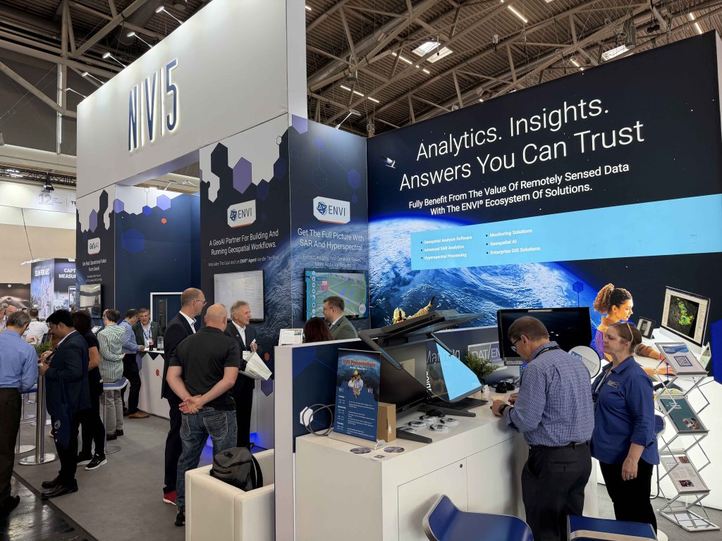
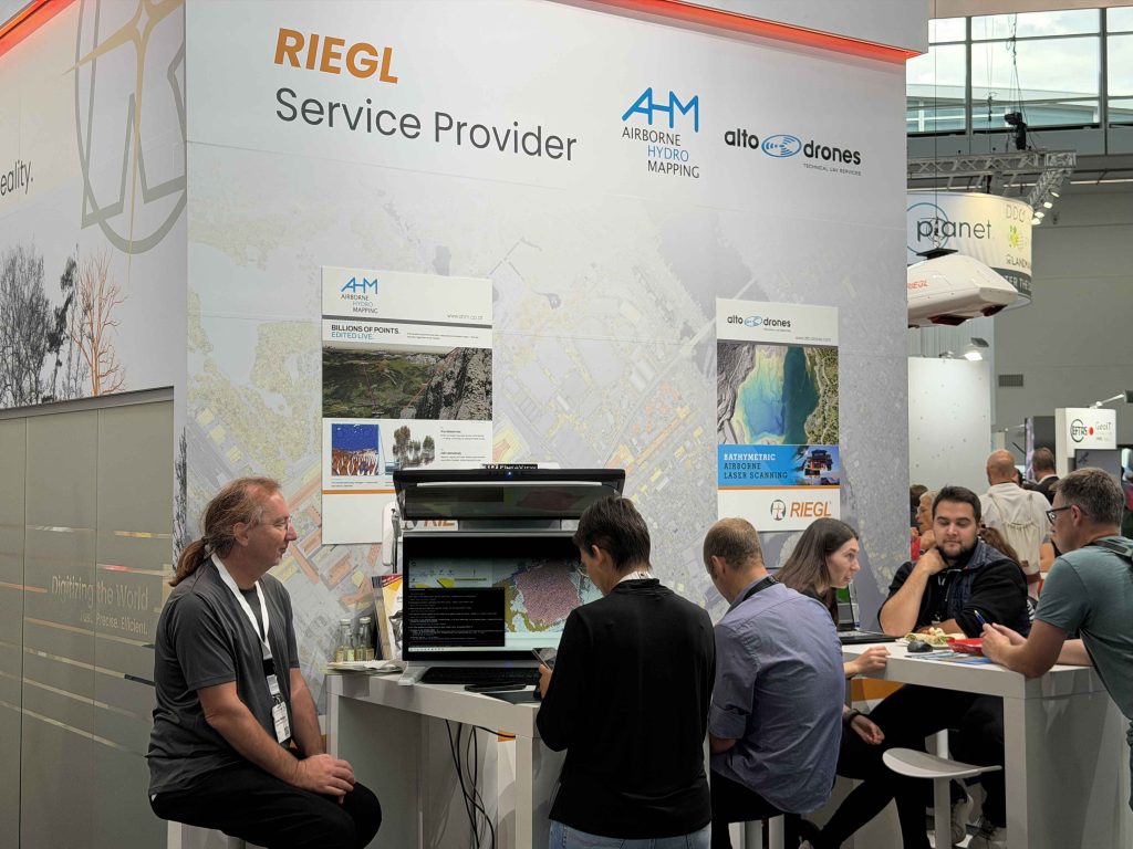
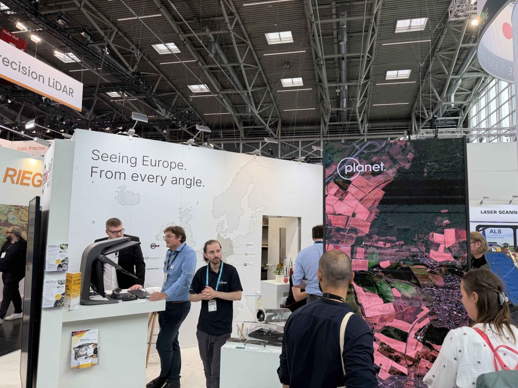
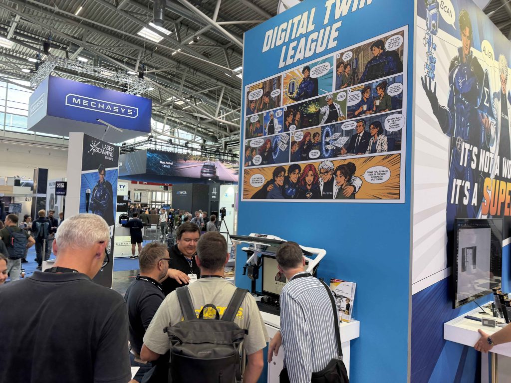
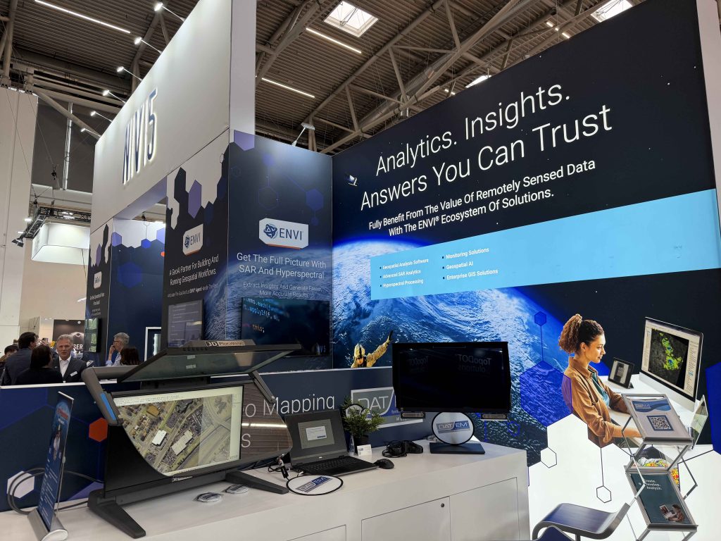
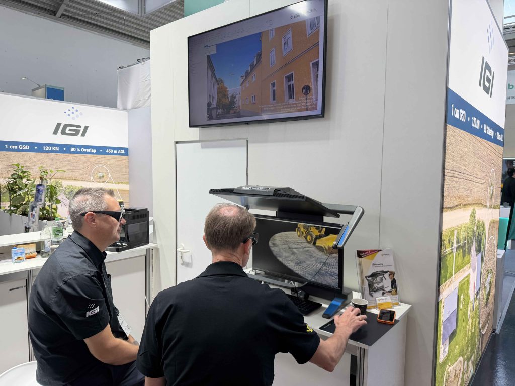
The 3D-Stereo presentations at INTERGEO 2026 extended beyond Schneider Digital’s own booth. At selected partner booths, the 3D PluraView was directly integrated into professional applications and real-world geospatial workflows.
Aerial imagery, point clouds, mapping projects and 3D city models were visualized, analyzed and processed stereoscopically. This demonstrated the interaction between professional software, complex geospatial data and precise 3D-Stereo visualization directly in practical applications.







Geospatial in a new dimension
With ImmersaXR-Studio, 3D PluraView, 3D GlobeView and professional geospatial workstations, Schneider Digital presented a comprehensive portfolio for modern geospatial data visualization at INTERGEO 2026.
The focus was on the interaction between hardware, software and 3D-Stereo technology for professional geospatial workflows. Once again, INTERGEO provided the ideal platform to present current solutions for immersive visualization, complex geospatial data and high-performance working environments in practical use.
INTERGEO 2026 was a great success for Schneider Digital!
Thank you to all visitors, partners and customers for the inspiring encounters and valuable discussions. Together, we are shaping the future of 3D-Stereo visualization with precision, innovation and the highest standards of quality.
Looking ahead to INTERGEO 2027
Schneider Digital will once again have a strong presence at INTERGEO 2027 in Frankfurt, presenting current trends and developments in geospatial data visualization and mapping technology while continuing the professional exchange with partners, customers and industry experts.

Leica Geosystems & Schneider Digital: Reality capture becomes a productive 3D workflow
Review INTERGEO 2026: Geospatial meets 3D-Stereo and VR

LiDAR vs. Gaussian Splats – Stereo 3D with TerraStereo in a real-world comparison

MENA3D relies on Schneider Digital for the visualisation of complex geodata

QGIS in transition: open source GIS meets 3D and stereo

Review of the FIG 2026 Congress: Live 3D Stereo Visualization in Cape Town

Professional hardware solutions and components conveniently around order online around the clock!

For your direct individual product or solution request around professional hardware!

One click to personal advice - Live by our specialists via video, audio or chat!

Full-service solution provider for professional 4K/8K, 3D stereo and VR hardware: Customized solutions for demanding requirements and applications.


© by Schneider Digital | +49 8025 99300 [email protected]
