


3D PluraView in Practice: Geospatial Professionals Showcase Stereo 3D at INTERGEO 2026
Professional users demonstrate how stereoscopic visualization makes complex geospatial data easier to understand
Whether LiDAR point clouds, high-resolution aerial imagery or geological 3D models: in professional geospatial applications, data quality, precise visualization and efficient workflows are crucial to the quality of results. At INTERGEO 2026 in Munich, Schneider Digital and its international technology partners demonstrated how 3D PluraView, combined with specialized software and powerful workstations, supports demanding geospatial workflows. A new video recap puts the applications—and the people behind them—center stage.
INTERGEO 2026: Insights into professional stereo 3D workflows
Schneider Digital’s video recap provides initial impressions of the trade fair and shows 3D PluraView in the context of different partner solutions.
- Professional stereo 3D applications at INTERGEO 2026
- Collaboration with international geospatial technology partners
- Visualization of demanding LiDAR, photogrammetry and 3D datasets
- Use of 3D PluraView with specialized professional software
- Individually configured stereo workstations for professional applications
- Practice-oriented solutions for surveying, environmental monitoring and geology
You are currently viewing a placeholder content from YouTube. To access the actual content, click the button below. Please note that doing so will share data with third-party providers.
More InformationExperience stereo 3D where it is used
Every geospatial application places different demands on visualization. In photogrammetry, the precise interpretation of spatial image information is essential. When analyzing LiDAR point clouds, reliably identifying terrain features, objects and differences in elevation is paramount. In geology, complex structures and spatial relationships also need to be presented clearly.
It was precisely this diversity that took center stage at INTERGEO. Schneider Digital’s partners presented their software solutions and datasets in direct interaction with the passive 3D stereo monitor 3D PluraView. Rather than isolated product demonstrations, the presentations highlighted specific applications and the requirements of the respective disciplines.
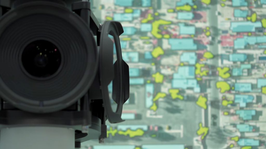
International technology partners share their perspectives
Numerous partners took part in the presentations and discussions, including EFTAS, Airborne Hydro Mapping, IGI, ILV, Terrasolid together with ORTHODRONE, Vexcel Imaging and Fonix Geoscience.
Their different perspectives highlight the range of professional stereo 3D applications—from surveying and remote sensing to the analysis of high-resolution geospatial data and geological modeling.
What they share is the need to display complex information spatially. With 3D PluraView, depth information can be perceived directly, enabling users to identify and assess spatial structures more easily and work with them in their familiar software environments.
The right stereo workstation starts with the workflow
Professional stereo 3D visualization requires more than a powerful monitor. The key is a well-matched combination of software, datasets, graphics hardware and visualization technology.
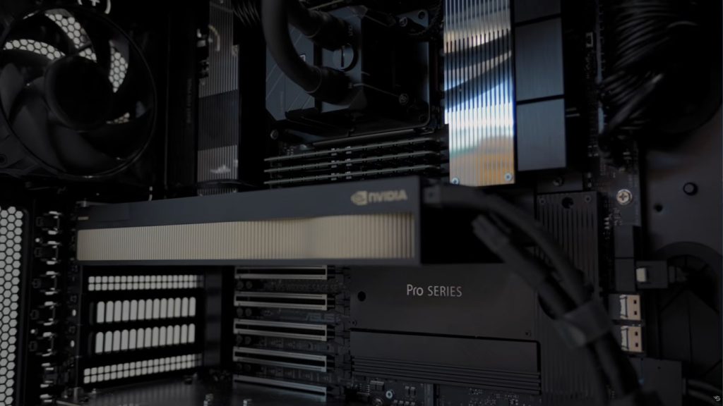
Schneider Digital therefore combines 3D PluraView with individually configured performance workstations tailored to the requirements of the respective applications. Passive beamsplitter technology enables high-resolution, flicker-free stereoscopic display and is designed for continuous professional use.
The result is a high-performance working environment in which even extensive geospatial datasets can be analyzed and processed comfortably.
When professional expertise meets spatial visualization
The recap illustrates that the added value of stereoscopic visualization becomes particularly apparent wherever experienced users work with complex spatial information every day. Their specific tasks determine which software, computing performance and type of 3D display are needed.
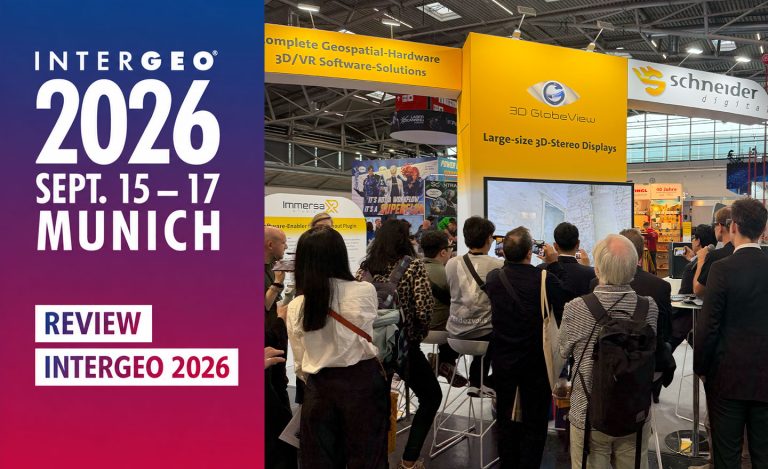
INTERGEO gave Schneider Digital the opportunity to demonstrate these requirements in practical applications together with its technology partners.
The announced in-depth partner interviews and Simon Buckley’s presentation on the geology software LIME will provide further insights. They will explore the various application areas in greater detail and show the role stereo 3D plays in the respective workflows.
Further information
By the way: If you would like to find out more about our 3D stereo, VR/AR and 4K/8K solutions or professional hardware components (high-end monitors, professional graphics cards, high-end workstations, smart VR wall, peripheral solutions, etc.), please call us directly on +49 (8025) 99 300 or email us at [email protected]
3D PluraView in Practice: Geospatial Professionals Showcase Stereo 3D at INTERGEO 2026

Leica Geosystems & Schneider Digital: Reality capture becomes a productive 3D workflow

Review INTERGEO 2026: Geospatial meets 3D-Stereo and VR

LiDAR vs. Gaussian Splats – Stereo 3D with TerraStereo in a real-world comparison

MENA3D relies on Schneider Digital for the visualisation of complex geodata

QGIS in transition: open source GIS meets 3D and stereo

Professional hardware solutions and components conveniently around order online around the clock!

For your direct individual product or solution request around professional hardware!

One click to personal advice - Live by our specialists via video, audio or chat!

Full-service solution provider for professional 4K/8K, 3D stereo and VR hardware: Customized solutions for demanding requirements and applications.


© by Schneider Digital | +49 8025 99300 [email protected]
