


Successful participation with 3D PluraView at Open Day Photogrammetry
Schneider Digital as a reliable partner for the aerial survey industry
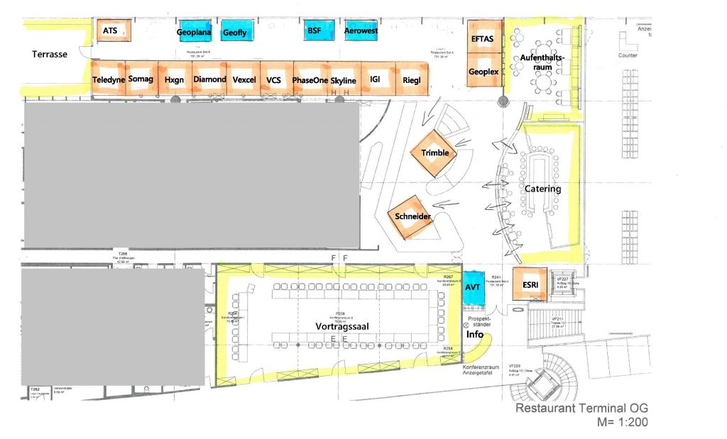
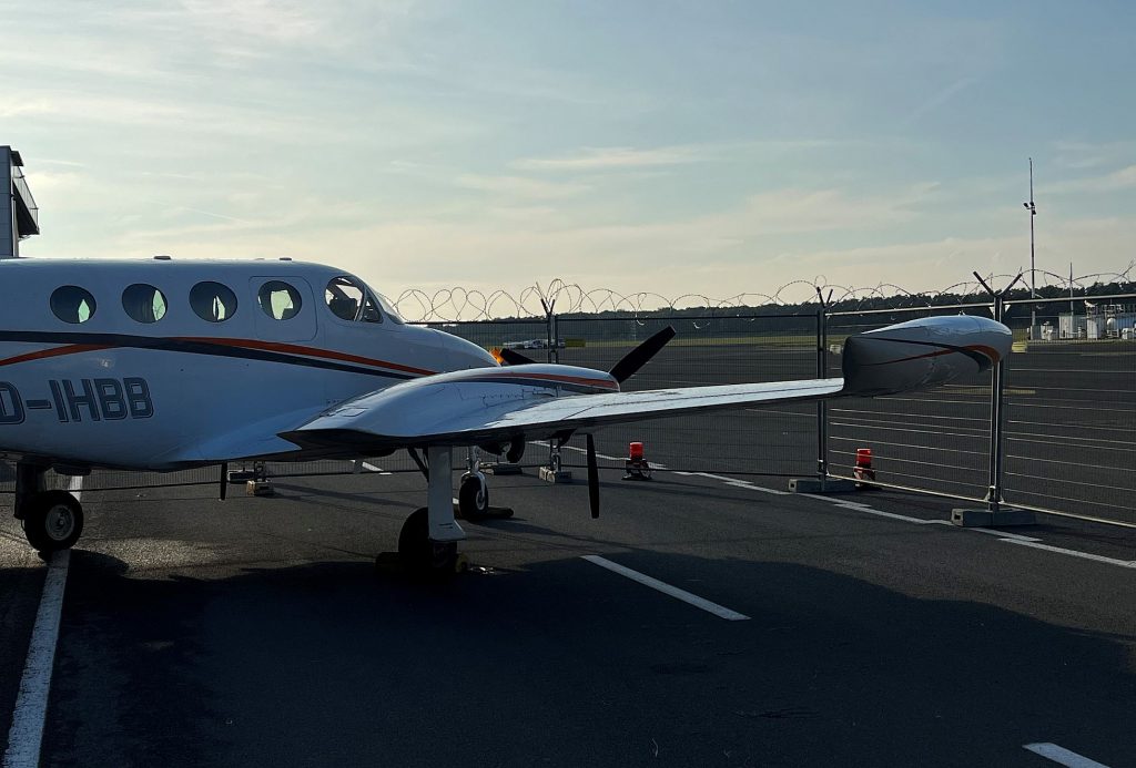
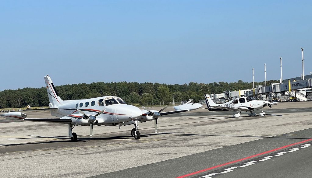
As one of the first companies supporting the “Open Day Photogrammetry” conference series (ODP) three years ago, Schneider Digital was again present at ODP2023 with an exhibition stand, high-end photogrammetry workstation and the 28″ 3D PluraView at this years’ conference venue, the Münster-Osnabrück airport (FMO). More than twenty European and international companies, the core of the aerial surveying industry, presented their equipment and exhibited inside the FMO terminal building. Several surveying aircraft also flew in and were directly accessible to the 150+ conference visitors, mostly from German, Austrian and Swiss state /federal authorities and services companies.
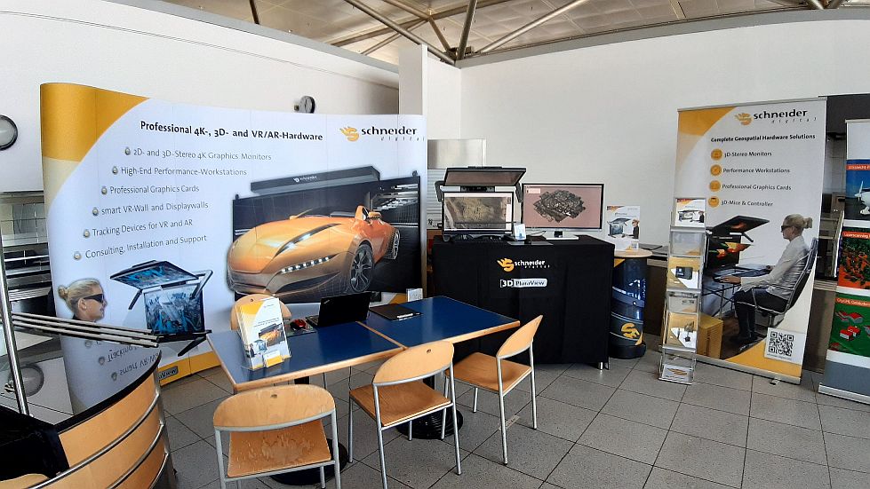
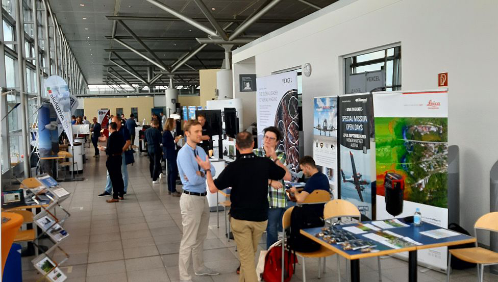
As a focused aerial surveying conference, the ODP2023 was clearly a ‘hands-on’ and ‘get-close event’, showcasing the latest high-tech aerial camera and airborne LiDAR equipment. Expertly organized this year by the Austrian aerial surveying AVT Group (https://www.avt.at/), the visitors had ample time to gather information about the latest aerial technology developments in workshop sessions, through a series of presentations and of course directly on the airfield and in the conference’s spacious exhibition area.
Since 2016, Schneider Digital has firmly positioned itself in the aerial surveying industry as a trusted manufacturer of the precision-calibrated 3D PluraView™ stereo-monitor series and special photogrammetric workstations for GIS feature collection. Recently, Schneider Digital has enhanced its stereoscopic display portfolio by the GlobeView™ large-format stereoscopic displays, a perfect tool for the presentation of geospatial 3D datasets, such as 3D city models.

Schneider Digital’s workstation expertise extends to the ultra-fast, yet compact CopyStation and CopyStation PRO series of small-format, mobile PC units for aerial survey companies to rapidly copy large amounts of raw aerial camera data to secure storage media. For the processing of hundreds of Terabytes of aerial camera and LiDAR data, Schneider has built and delivered to customers around the World specific SD Image Server hardware solutions, processing reliably and rapidly raw aerial survey datasets into geospatial products, such as digital surface and terrain models (DSM/DTM), orthorectified images and ultra-realistic 3D City Models.
By the way: If you want to learn more about our 3D stereo, VR/AR and 4K/8K solutions or professional hardware components (high-end monitors, professional graphics cards, high-end workstations, smart VR wall, peripheral solutions, etc.), please just call us directly, phone +49 (8025) 99 300, or email us at [email protected].
For more information about the annual Open Day Photogrammetry events, please click here.
All other info about 3D stereo monitor 3D PluraView

Leica Geosystems & Schneider Digital: Reality capture becomes a productive 3D workflow

Review INTERGEO 2026: Geospatial meets 3D-Stereo and VR

LiDAR vs. Gaussian Splats – Stereo 3D with TerraStereo in a real-world comparison

MENA3D relies on Schneider Digital for the visualisation of complex geodata

QGIS in transition: open source GIS meets 3D and stereo

Review of the FIG 2026 Congress: Live 3D Stereo Visualization in Cape Town

Professional hardware solutions and components conveniently around order online around the clock!

For your direct individual product or solution request around professional hardware!

One click to personal advice - Live by our specialists via video, audio or chat!

Full-service solution provider for professional 4K/8K, 3D stereo and VR hardware: Customized solutions for demanding requirements and applications.


© by Schneider Digital | +49 8025 99300 [email protected]
