
Review INTERGEO 2025: Highlights with live presentations from our software partners
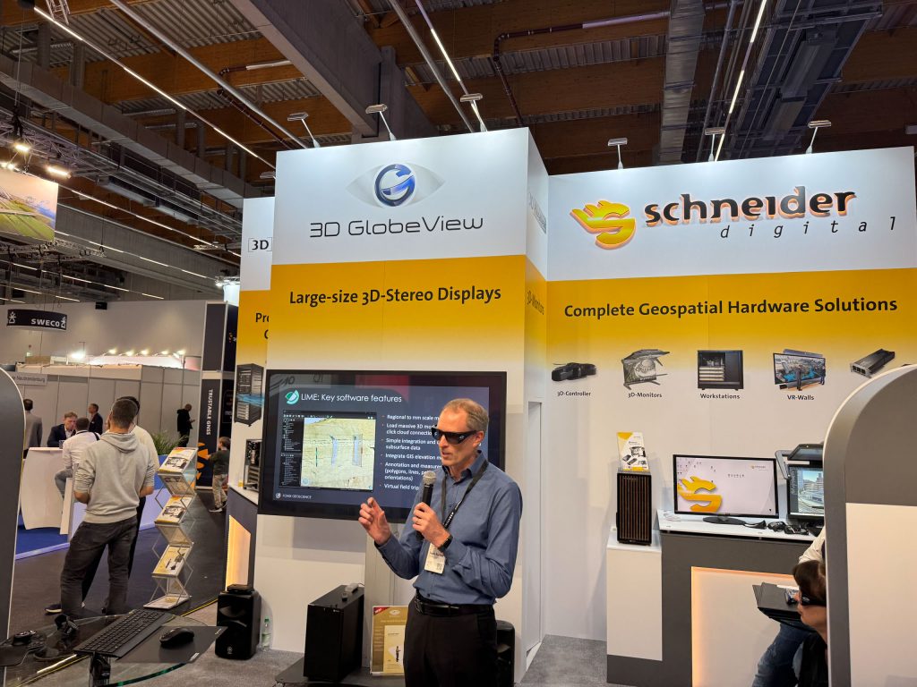
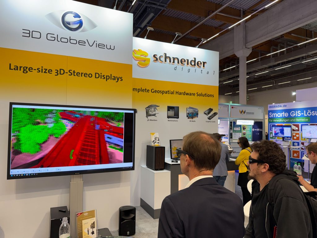
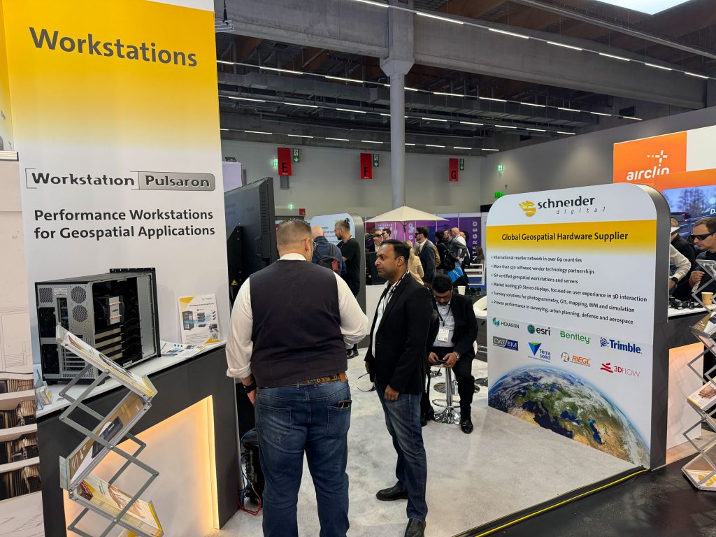
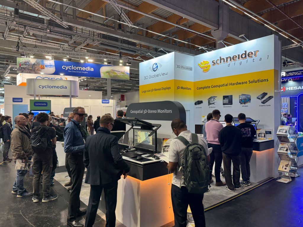
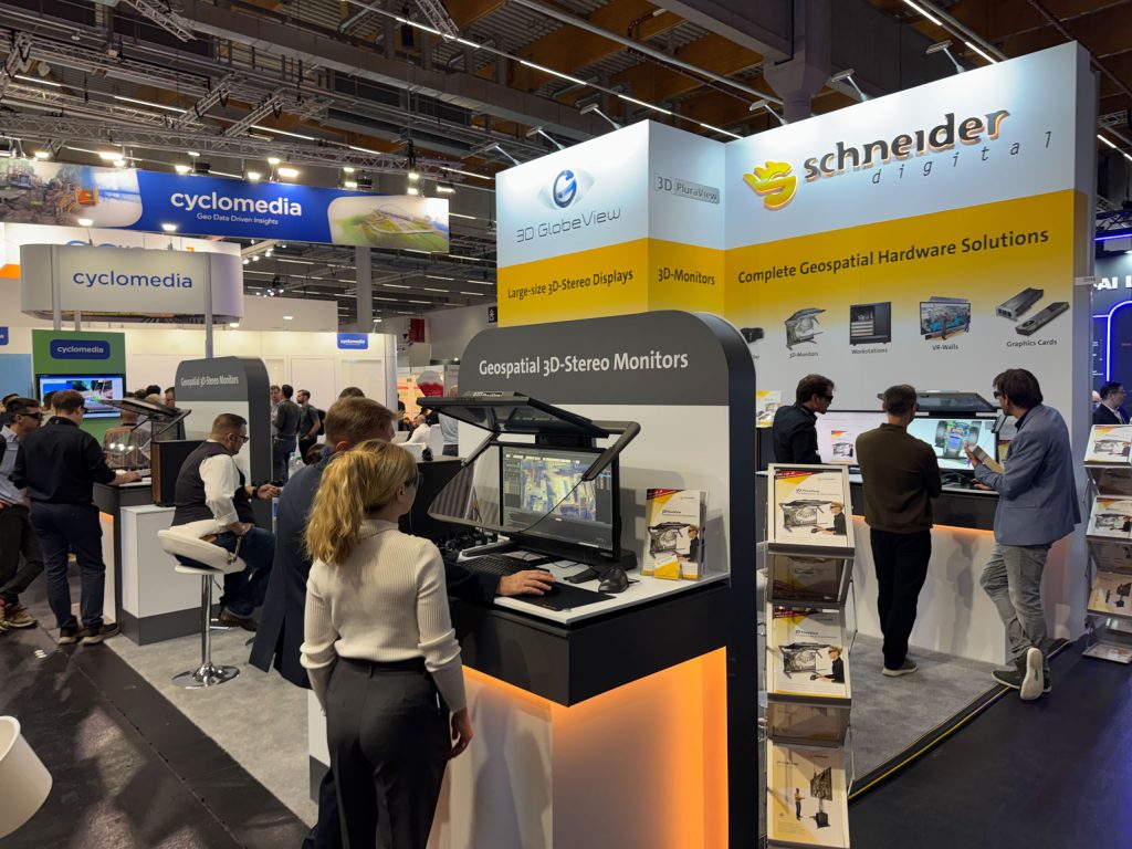
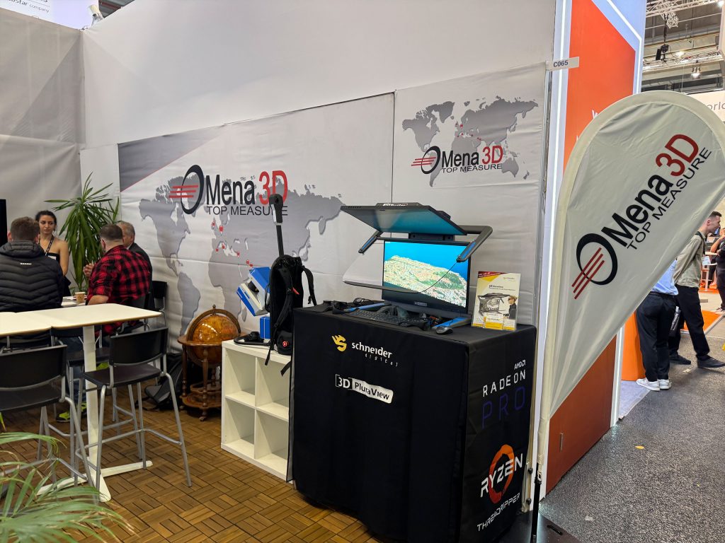
In 2025, Schneider Digital once again presented itself at INTERGEO (October 7–9 in Frankfurt) as one of the leading companies in the field of 3D stereo visualization. Numerous visitors took the opportunity to find out about the latest developments in geodata visualization and mapping technology at our booth in Hall 12.1, Booth 1D 114.
You are currently viewing a placeholder content from YouTube. To access the actual content, click the button below. Please note that doing so will share data with third-party providers.
More InformationOur trade fair presentation focused on these innovative products:
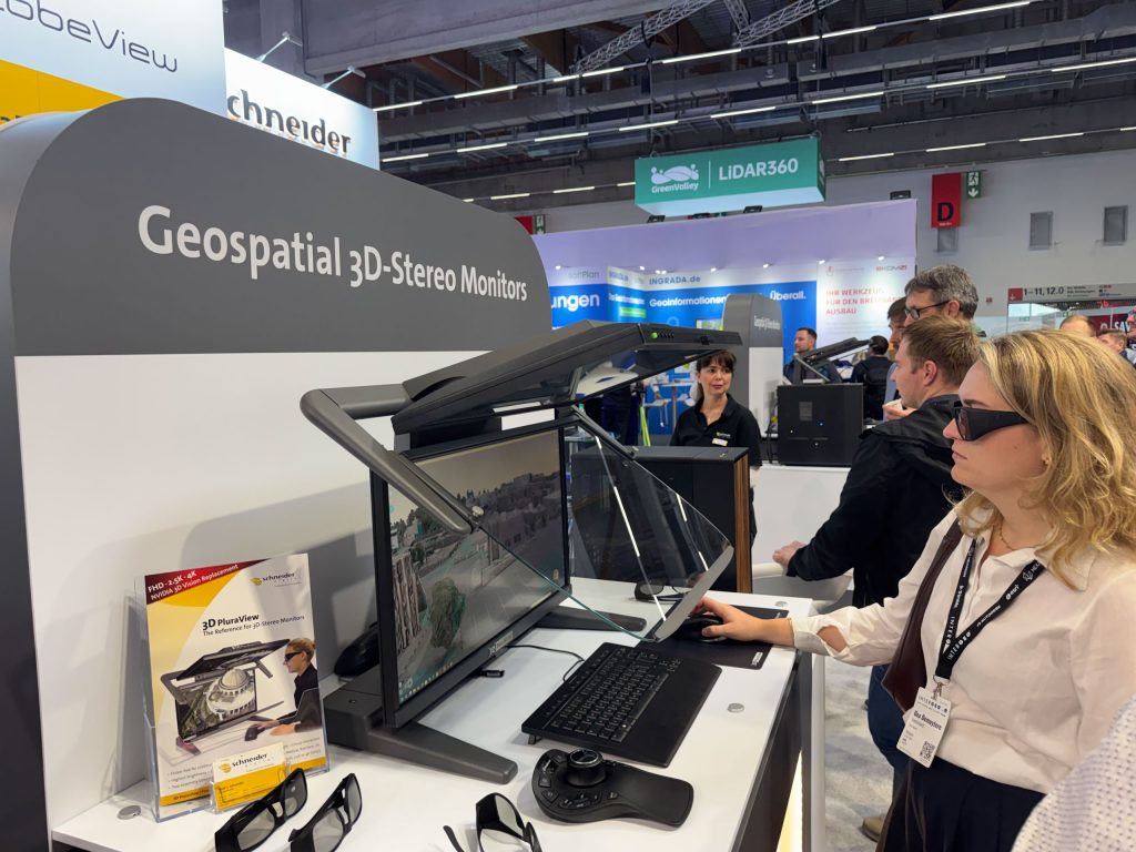
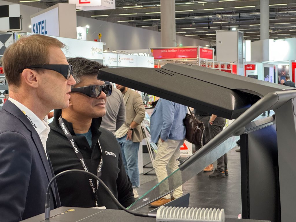
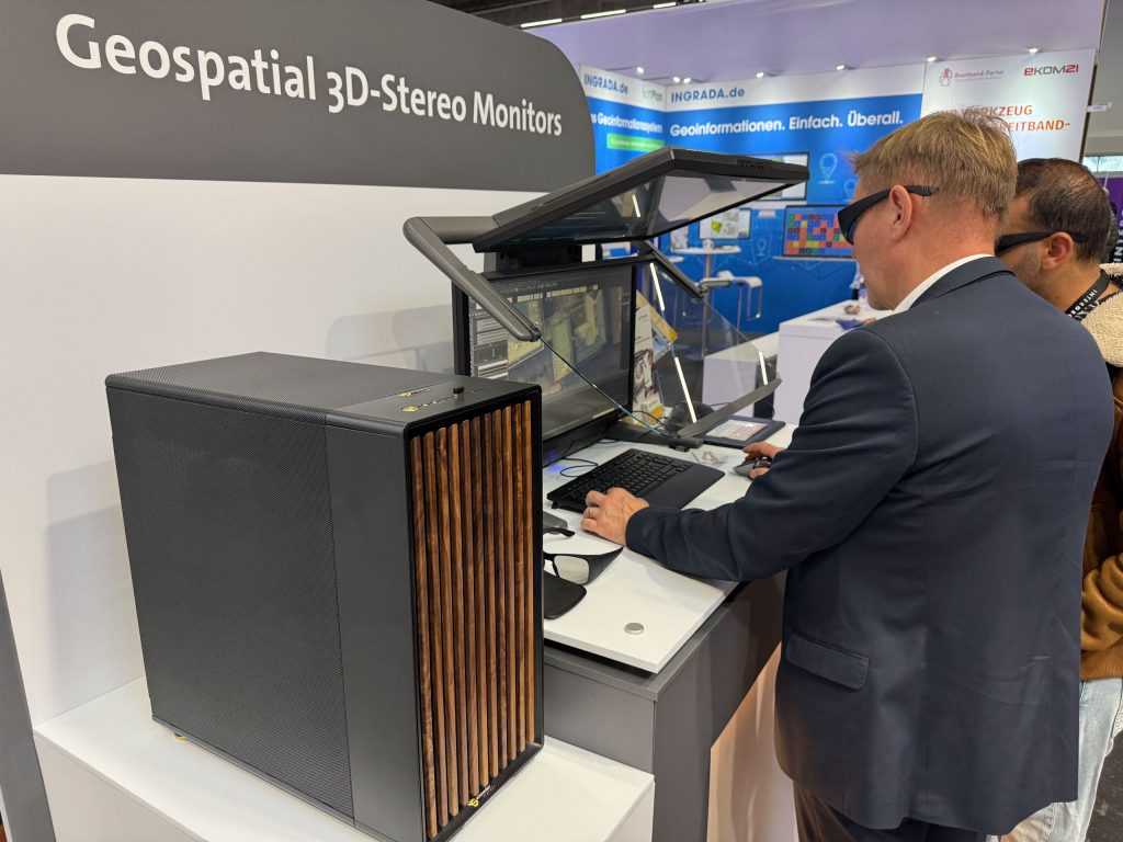
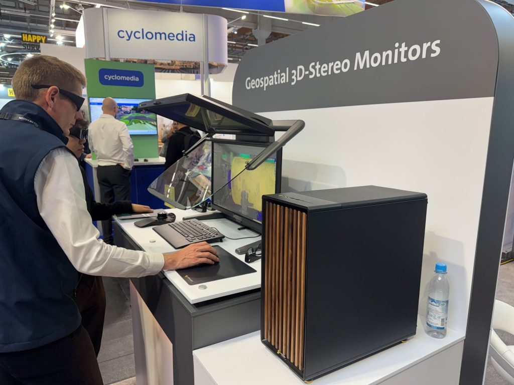
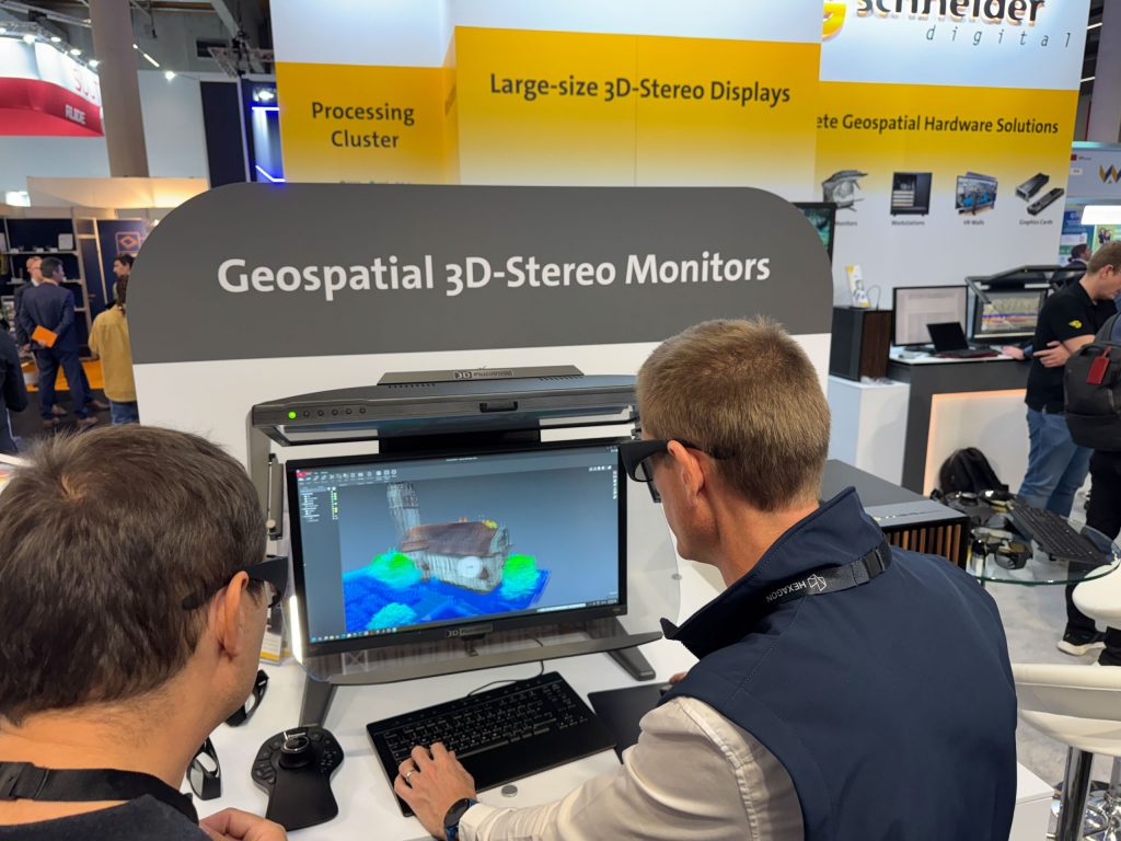
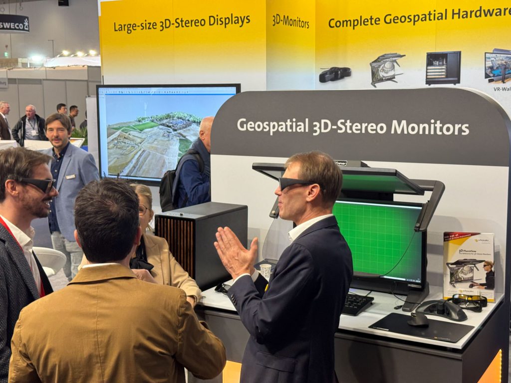
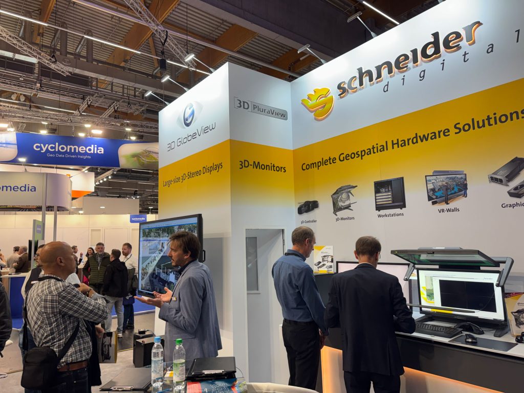
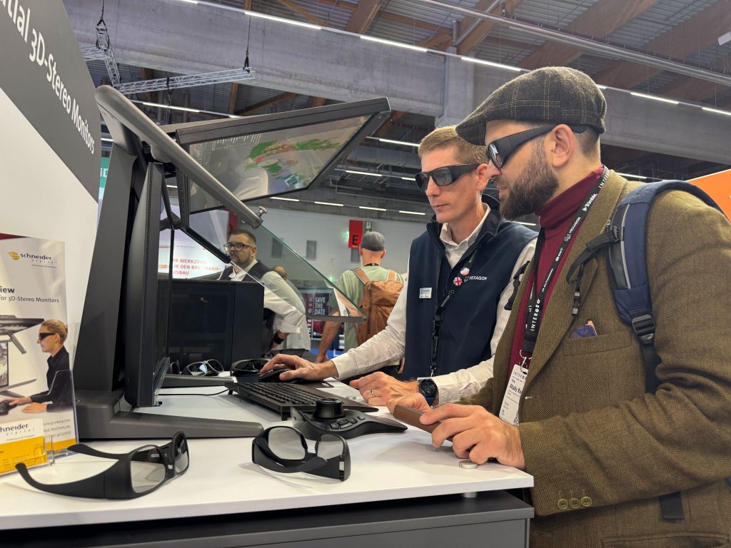
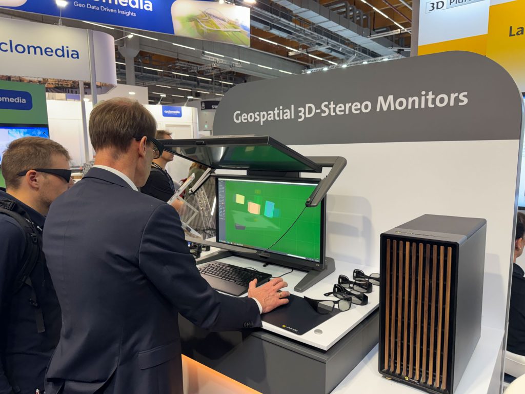
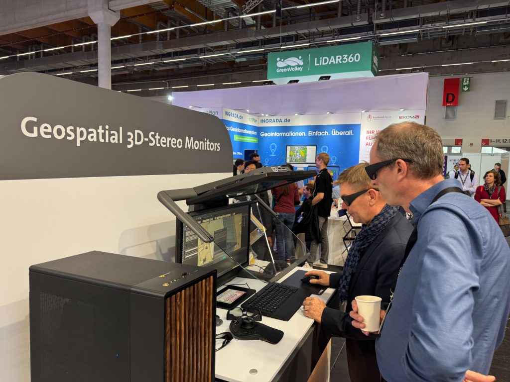
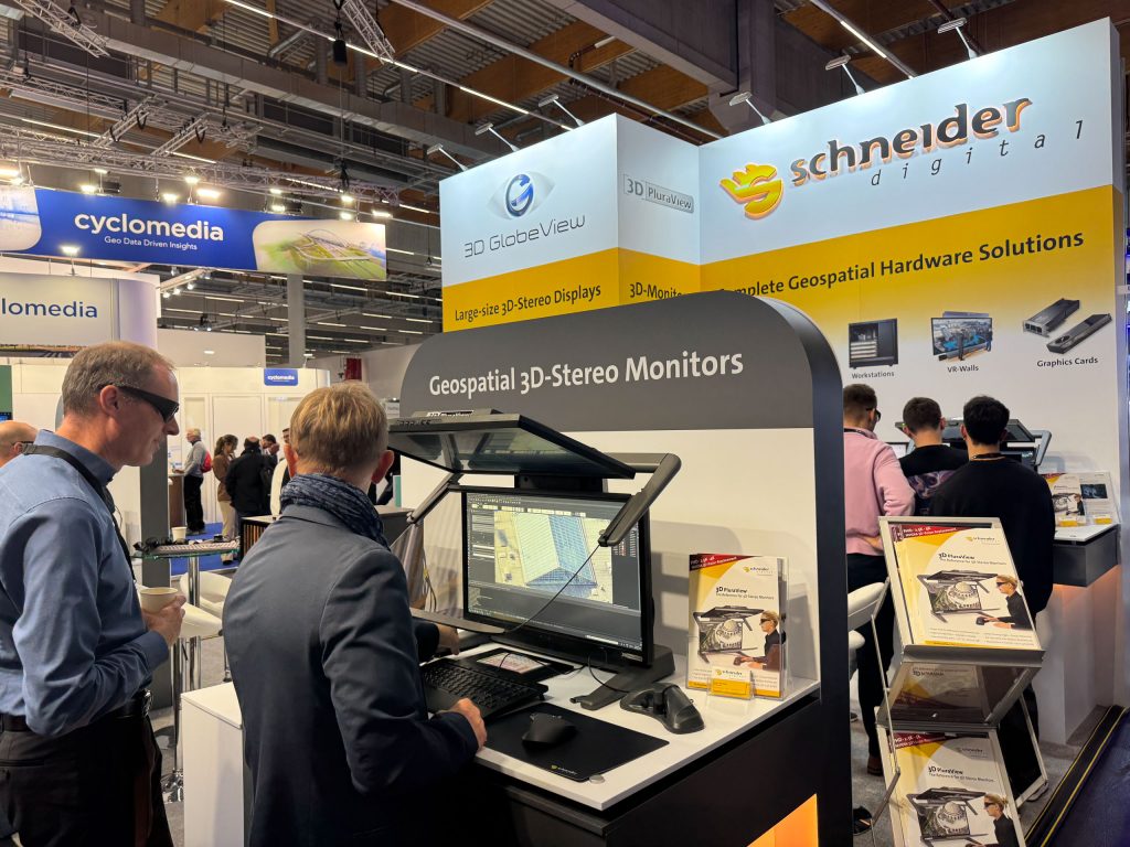
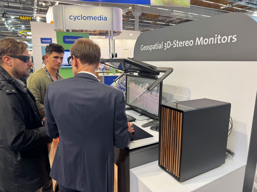
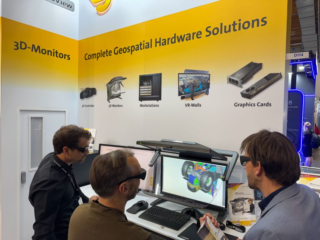
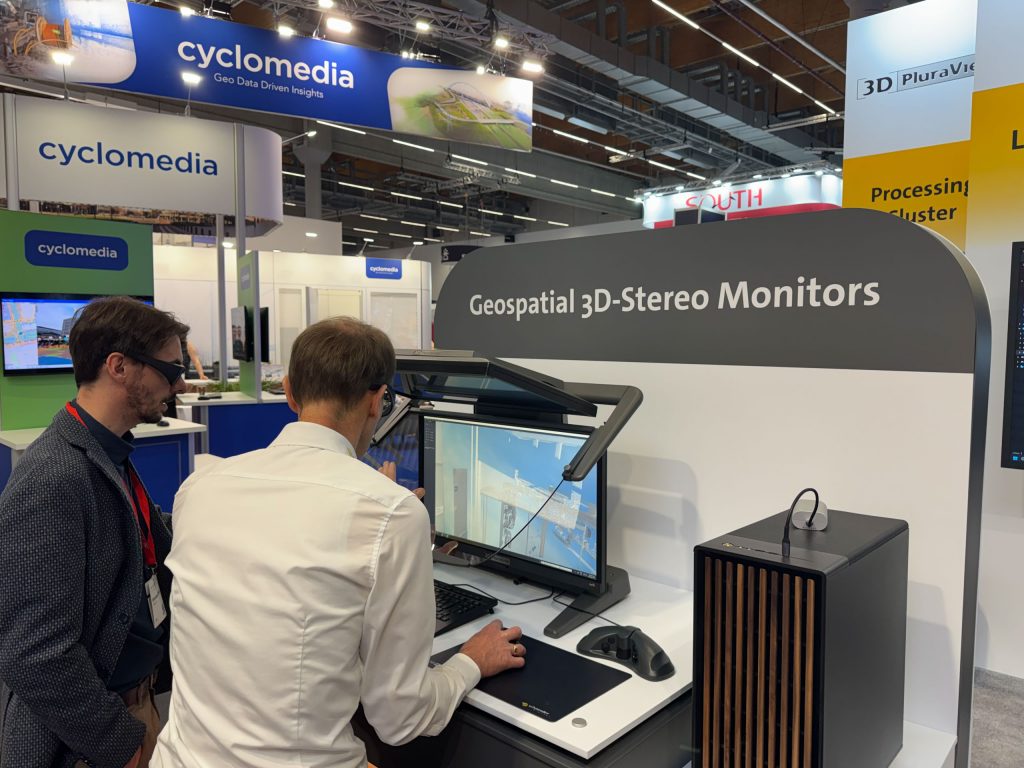
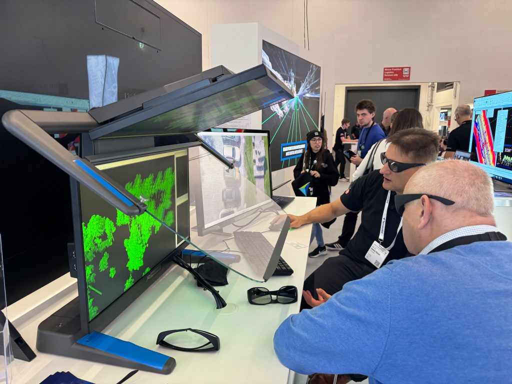
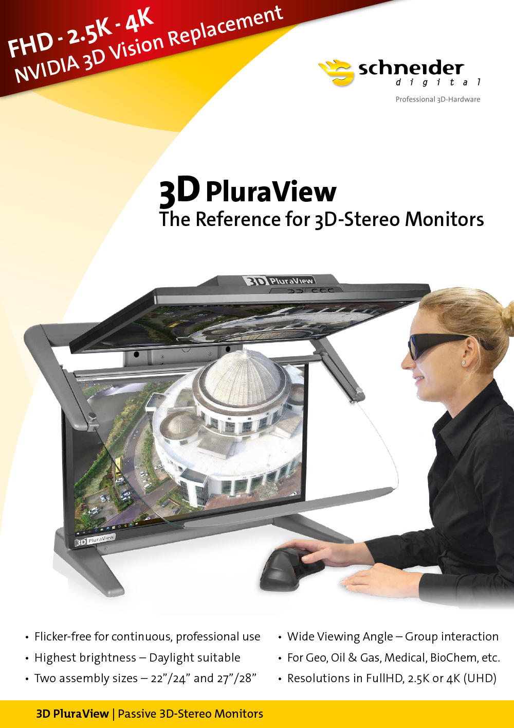
- 3D PluraView – the leading desktop stereo monitor:
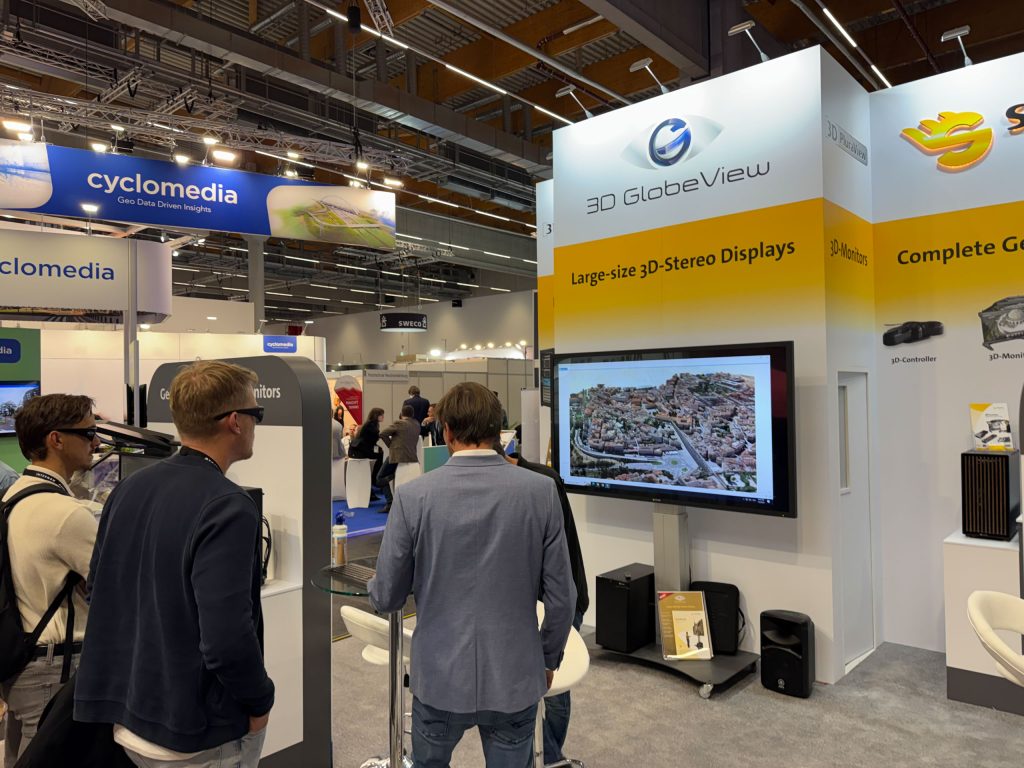
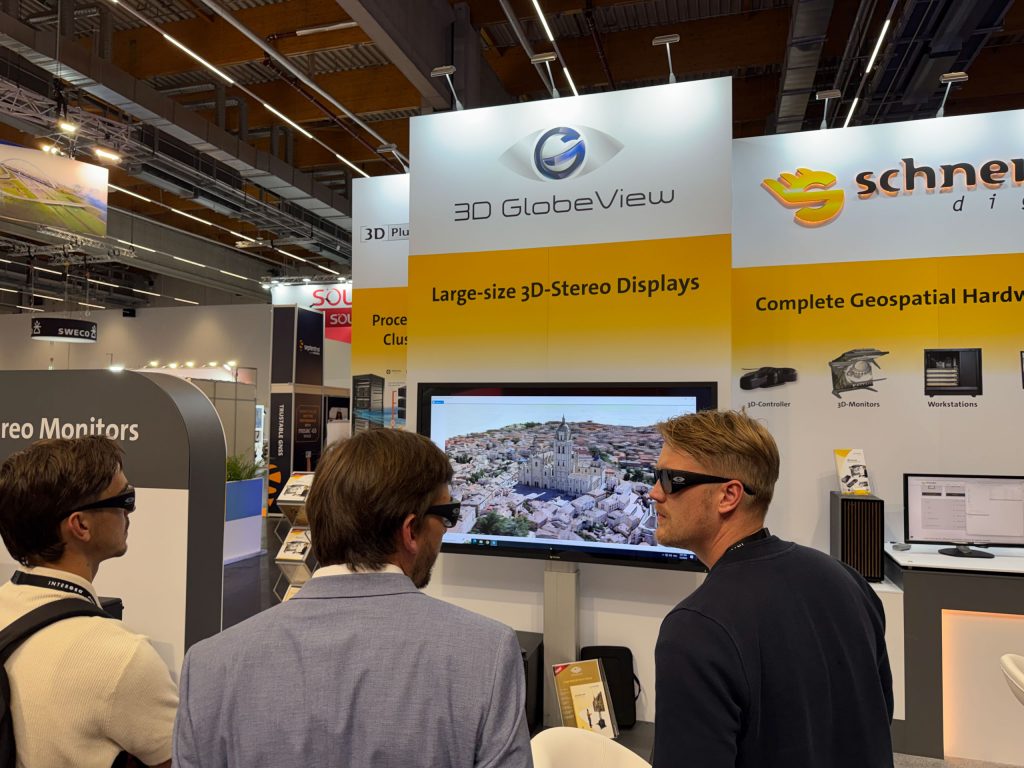
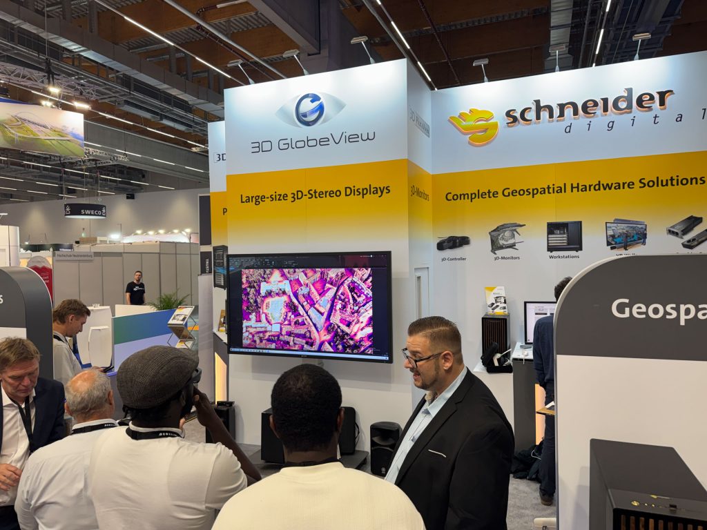
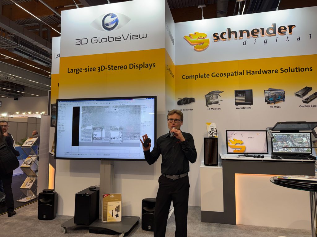
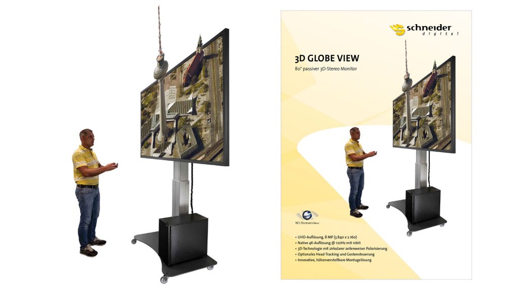
The 3D PluraView sets new standards in professional 3D stereo visualization. Its brilliant image quality and ergonomic operation enable highly precise and fatigue-free work with complex geodata and GIS applications. - 3D GlobeView – the new 80-inch stereo display:
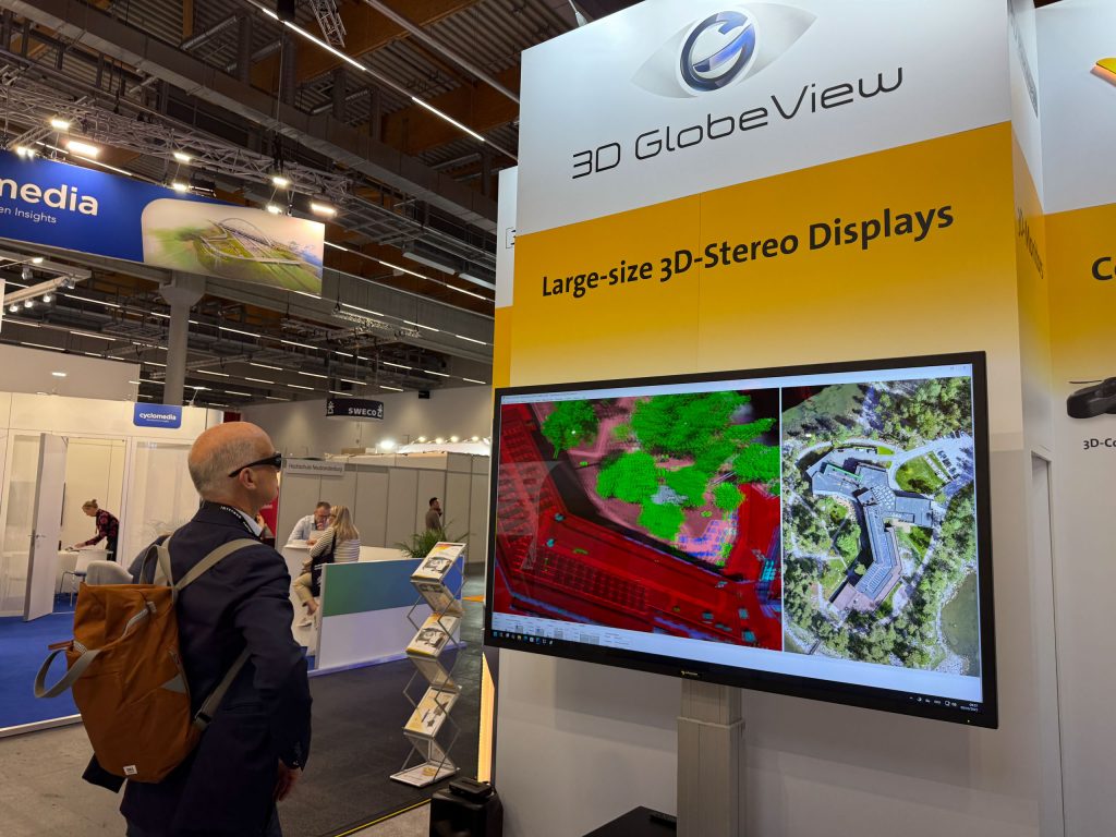
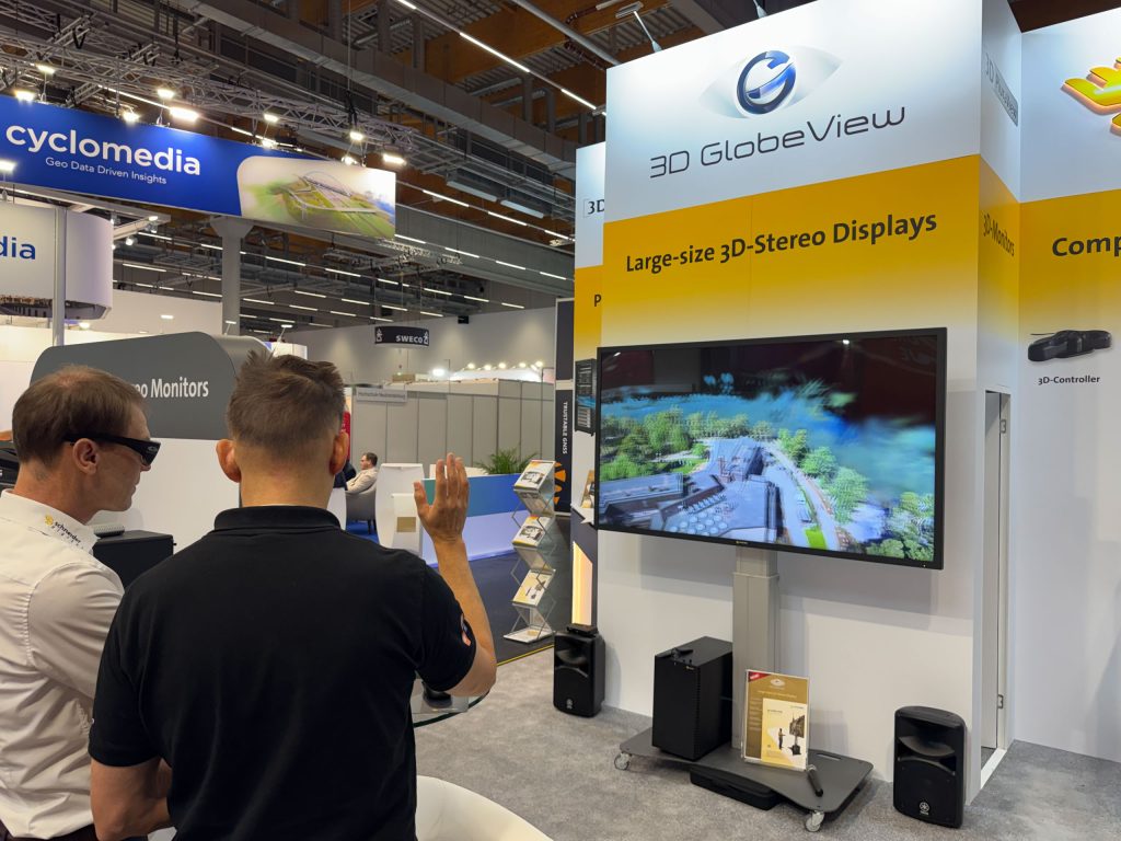
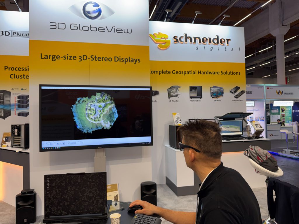
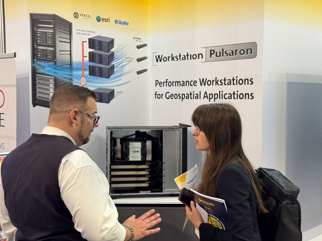
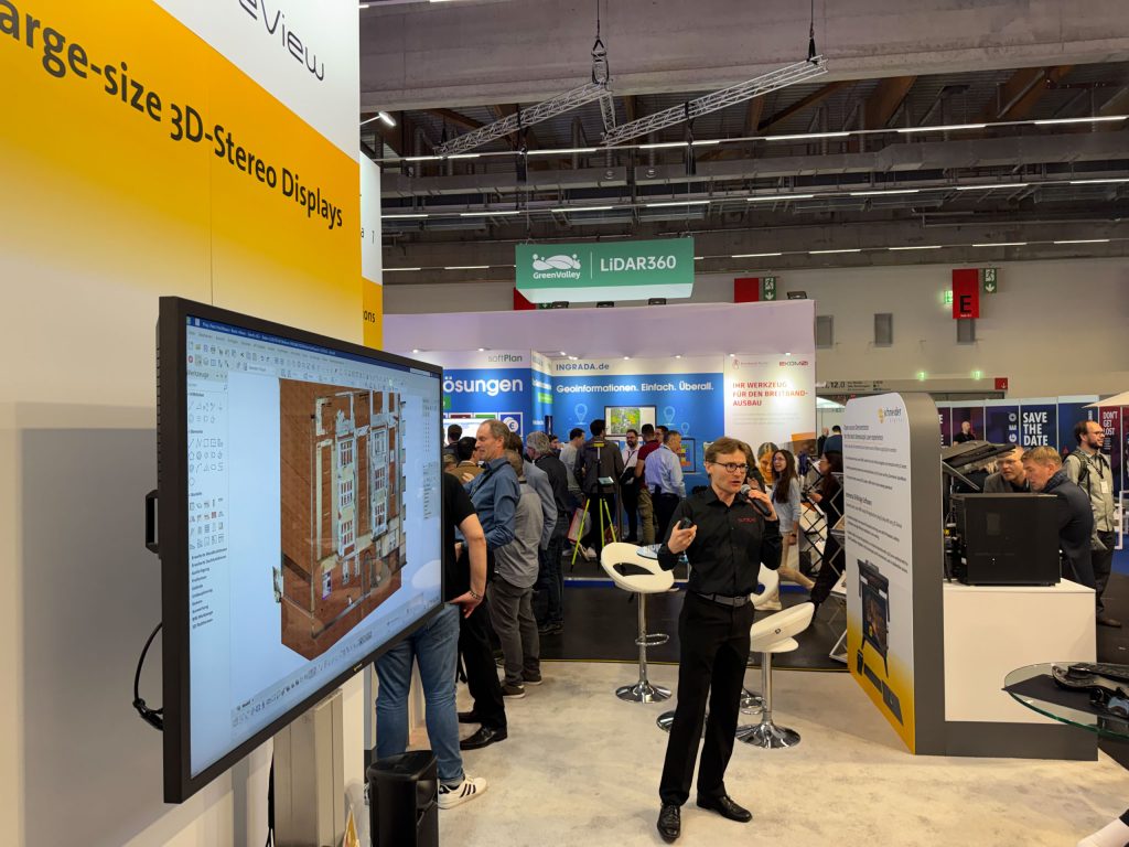
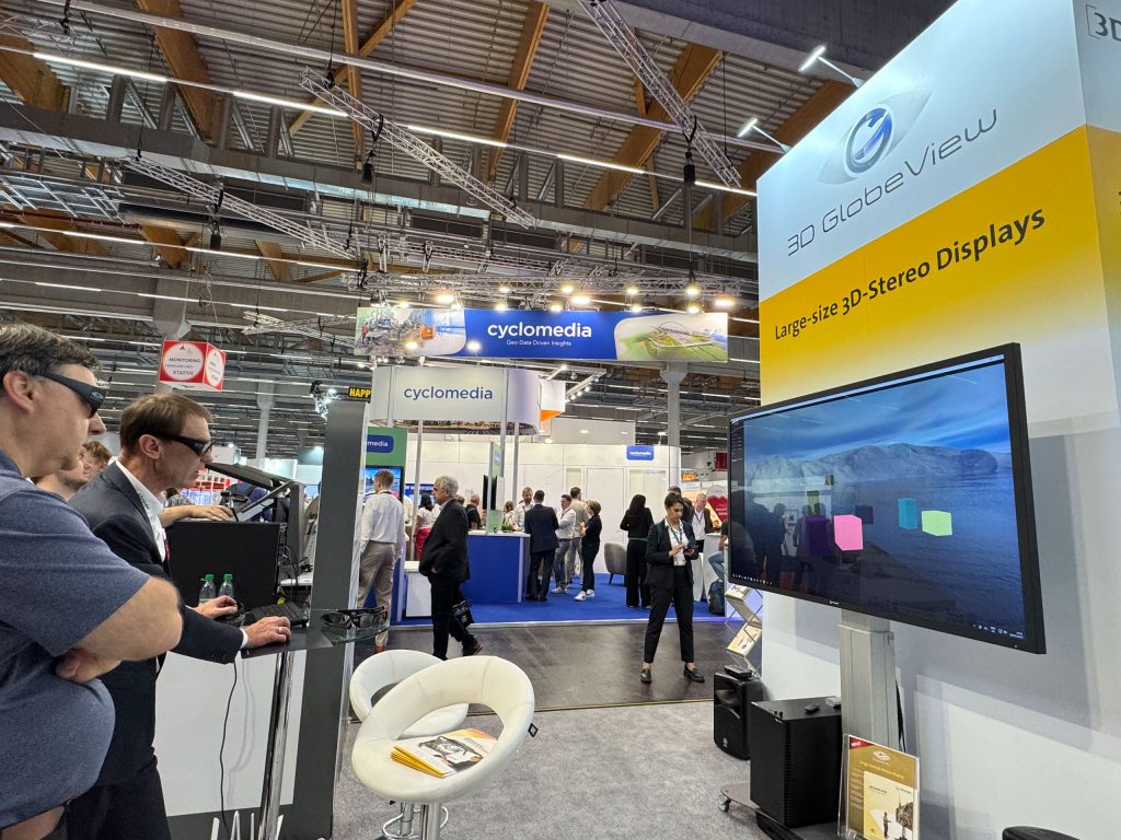
As an impressive large-format display, the 3D GlobeView offered visitors an intense, immersive 3D experience. Ideal for presentations and project meetings, it impressed with its vivid display and intuitive operation. - Performance workstations for GIS users:
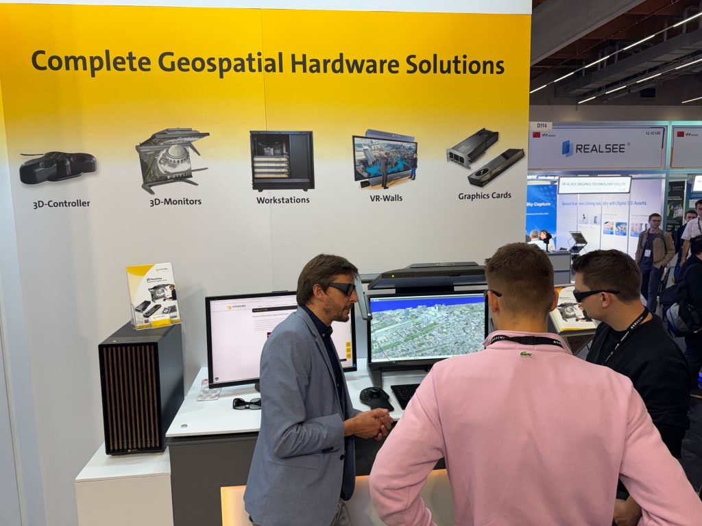
Schneider Digital’s powerful workstations are precisely tailored to the software used, guaranteeing maximum stability and smooth operation.
You are currently viewing a placeholder content from YouTube. To access the actual content, click the button below. Please note that doing so will share data with third-party providers.
More Information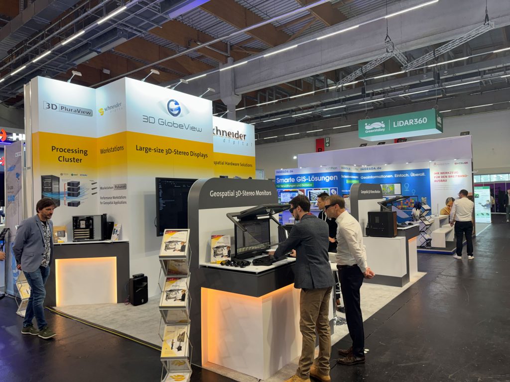

INTERGEO highlights:
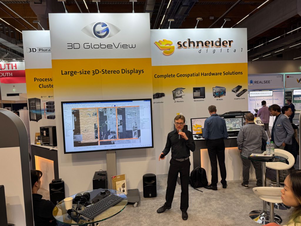
Partner presentations at our booth
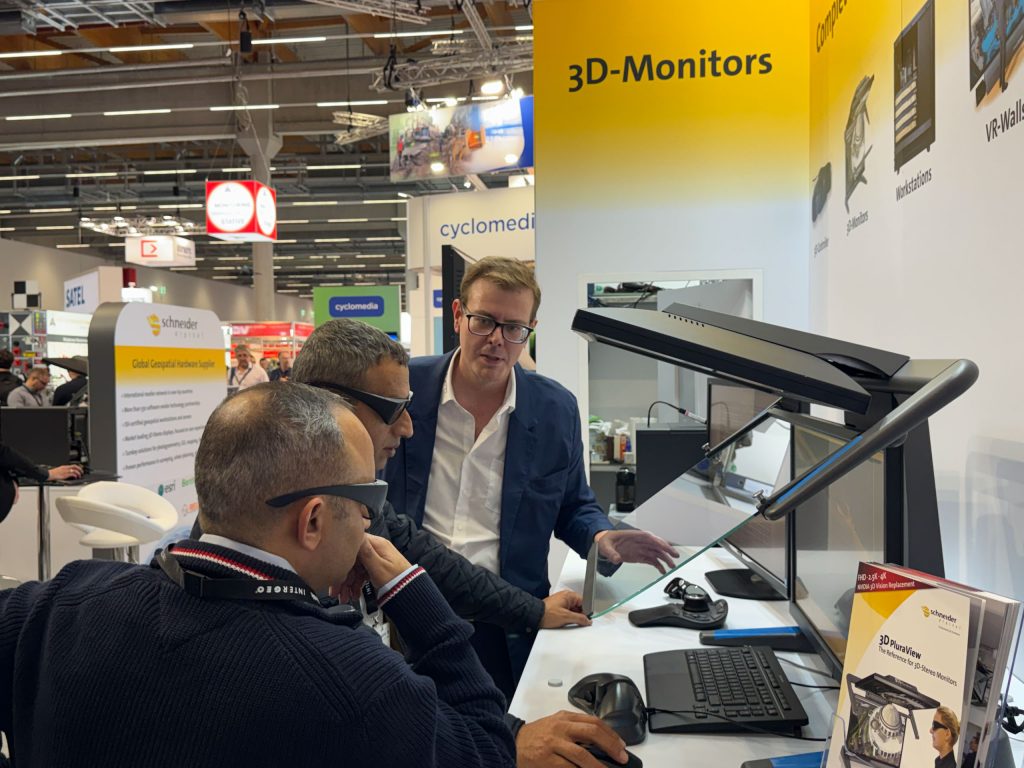
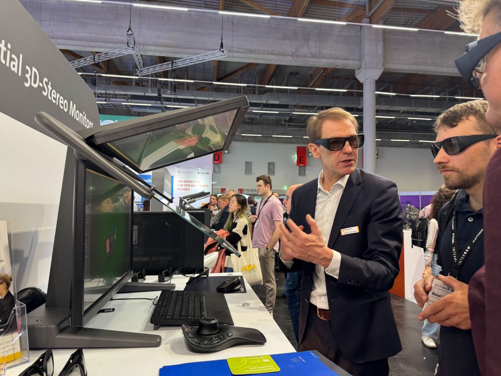
The live presentations by our software partners attracted considerable interest, impressively demonstrating how innovative 3D technologies are changing work processes in the geospatial industry.


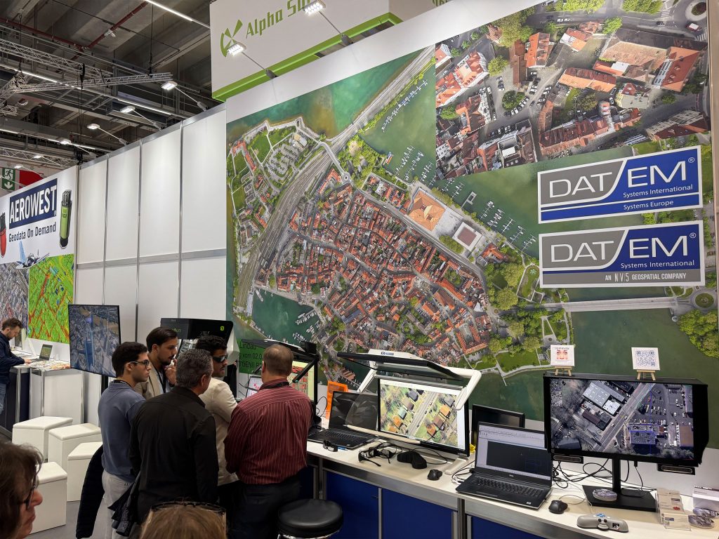
Our partners Elitecad, Hexagon, Geotrend, RhinoTerrain, Fonix, and ZF Zoller & Fröhlich presented their latest applications on powerful PRO workstations for GIS—live in stereoscopy on the 3D PluraView monitor. Visitors experienced state-of-the-art 3D geodata visualization with the highest precision and quality.
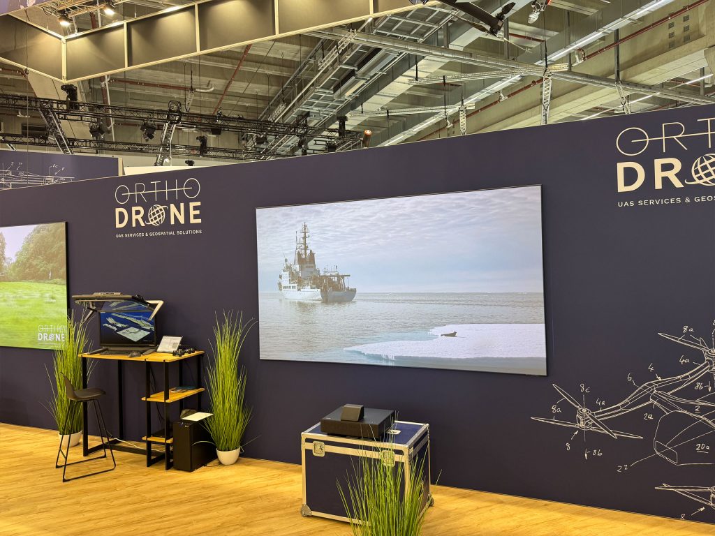
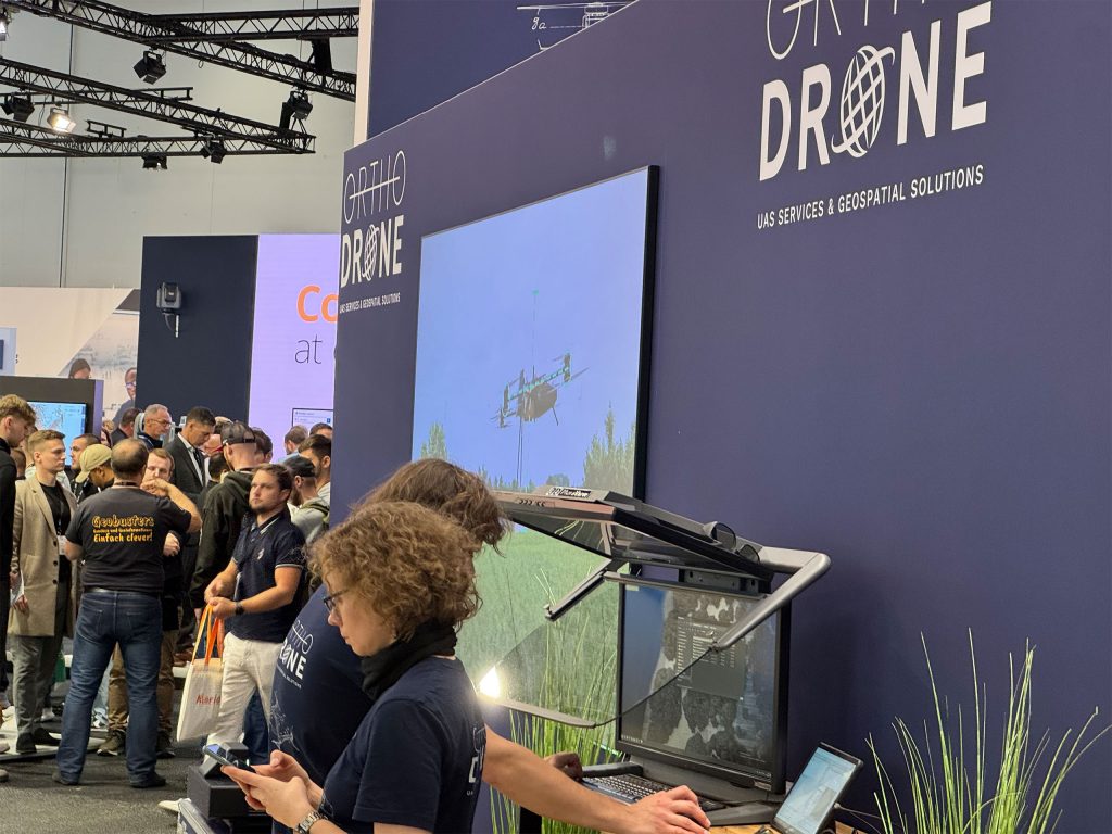
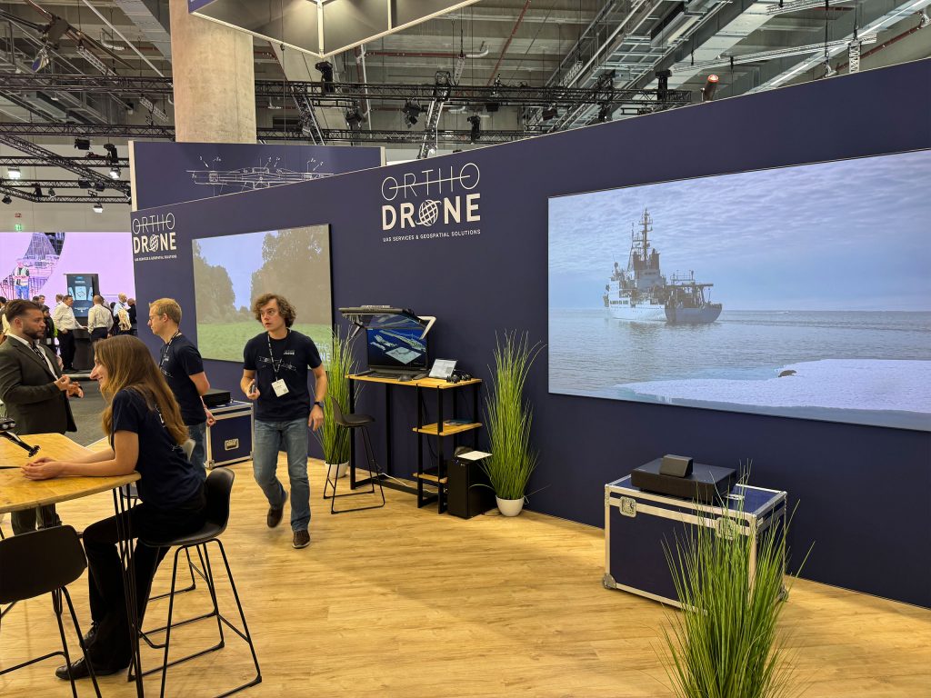
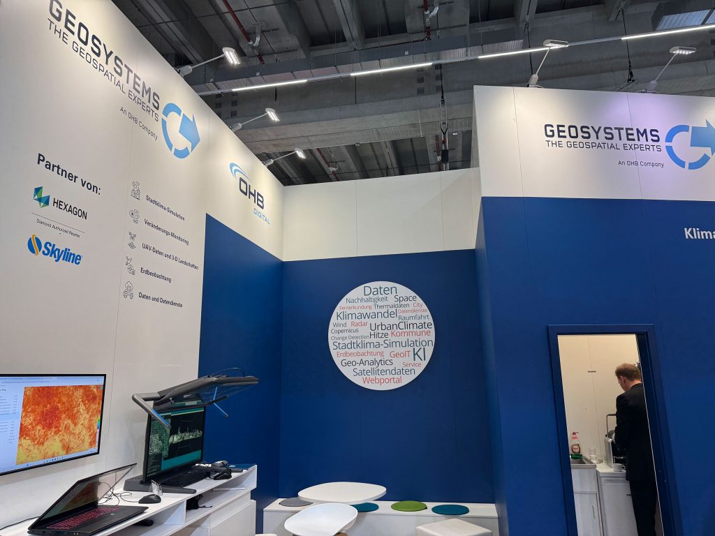
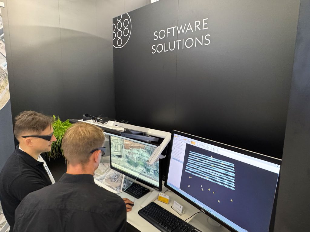
3D PluraView live presentations took place at
10 exhibition stands of our partners:

We can look back on a successful trade fair experience: INTERGEO 2025 was a resounding success for Schneider Digital! Many thanks to all visitors, partners, and customers for the exciting encounters and intensive exchanges—together, we are shaping the future of 3D stereo visualization with precision, innovation, and the highest quality.
General information about INTERGEO:
- World’s leading trade fair and conference for geodesy, geoinformation, and land management
- Ideal platform for professionals from the geodata industry
- Current topics such as digitization, smart cities, drone technology, BIM (Building Information Modeling), and sustainable development
- Latest trends and innovations in the field of geoinformation and geodata visualization
- Over 600 exhibitors from more than 40 countries
Looking ahead to Intergeo 2026
Schneider Digital will once again have a strong presence at INTERGEO in Munich in 2026 to present the latest trends and developments in geodata visualization and mapping technology and to continue the professional exchange with partners, customers, and industry experts.
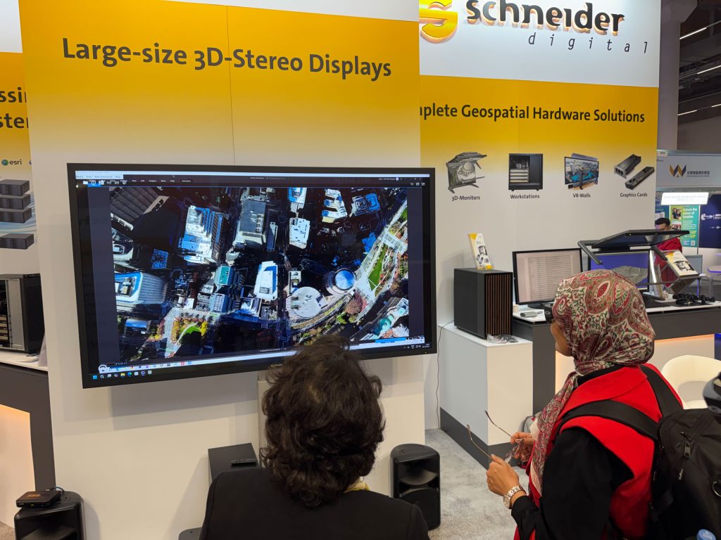
3D stereo for big-screen presentation
This year, you had the opportunity to experience the new 3D GlobeView display, which, with an 80-inch screen diagonal, has proven to be the ideal large-format 3D stereo presentation medium for all leading geo-applications.

INTERGEO 2026: ImmersaXR-Studio Product Launch for the Geospatial Market

QGIS in transition: open source GIS meets 3D and stereo

Review of the FIG 2026 Congress: Live 3D Stereo Visualization in Cape Town

Vexcel and Schneider Digital: The perfect complement to UltraMap and 3D visualisation

ImmersaXR-Studio celebrates its world premiere at ART TECHDAY 2026

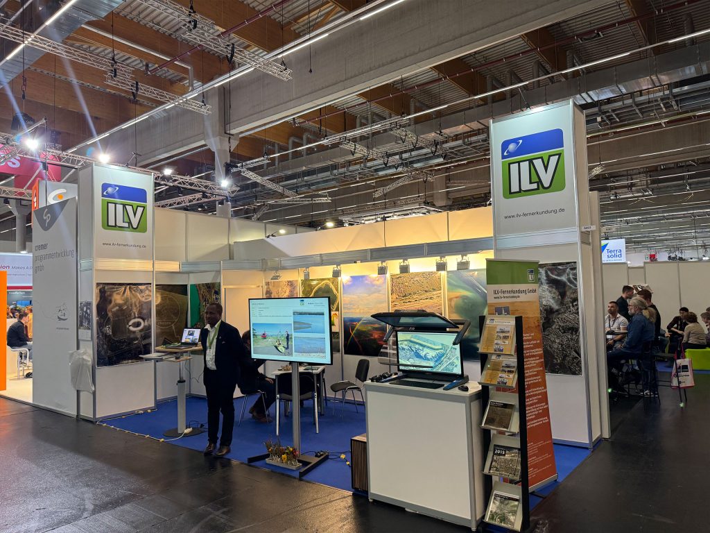
ILV Fernerkundung: From aerial surveys to precise 3D visualisation
Professional hardware solutions and components conveniently around order online around the clock!
For your direct individual product or solution request around professional hardware!
One click to personal advice - Live by our specialists via video, audio or chat!
Full-service solution provider for professional 4K/8K, 3D stereo and VR hardware: Customized solutions for demanding requirements and applications.
© by Schneider Digital | +49 8025 99300 [email protected]